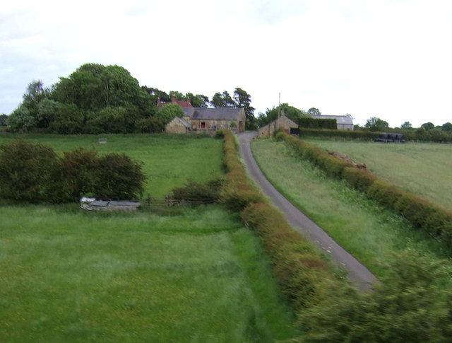
Coal workings Briery Hill (Stannington)

-
Description
A small group of earthworks that are likely to be the remains of post medieval coal working are visible as earthworks on lidar imagery. These comprise a mine shaft and a mound with access shafts, which may be the remains of bell pits. The mine shaft, which is depicted and labelled 'Old Coal Shaft' on the Ordnance Survey map of 1898 , is visible as a structure on post war air photos. These features are located on the slope down to the River Blyth from Briery Hill.... -
Owner
Keys to the Past (Durham & Northumbria County Councils) -
Source
Local (Co-Curate) -
License
What does this mean? Unknown license check permission to reuse
-
Further information
Link: https://keystothepast.info/search-records/results-of-search/results-of-search-2/site-details/?PRN=N28336
Resource type: Text/Website
Added by: Simon Cotterill
Last modified: 2 years, 5 months ago
Viewed: 372 times
Picture Taken: Unknown -
Co-Curate tags


