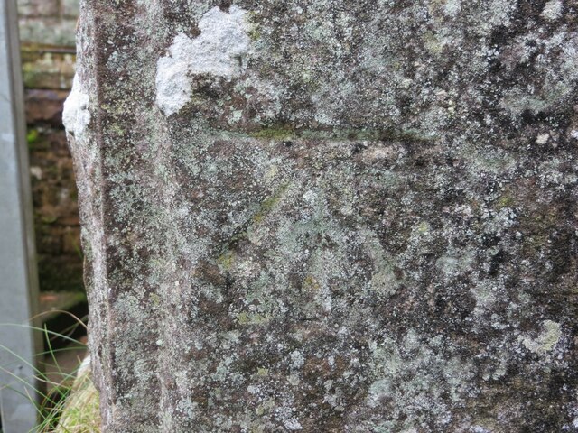
Ordnance Survey Cut Mark

-
Description
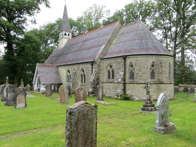
"This mark can be found on the wall of Nicholforest Parish Church - St Nicholas. The recorded details give a height of 120.8471 metres above sea level. For ore details see : https://www.bench-marks.org.uk/bm164655" Photo by Peter Wood, 2021. -
Owner
Peter Wood -
Source
Geograph (Geograph) -
License
What does this mean? Creative Commons License
-
Further information
Link: http://www.geograph.org.uk/photo/7110438
Resource type: Image
Added by: Simon Cotterill
Last modified: 2 years, 6 months ago
Viewed: 315 times
Picture Taken: 2021-09-25 -
Co-Curate tags


