St Mark's, Howdon

-
Description
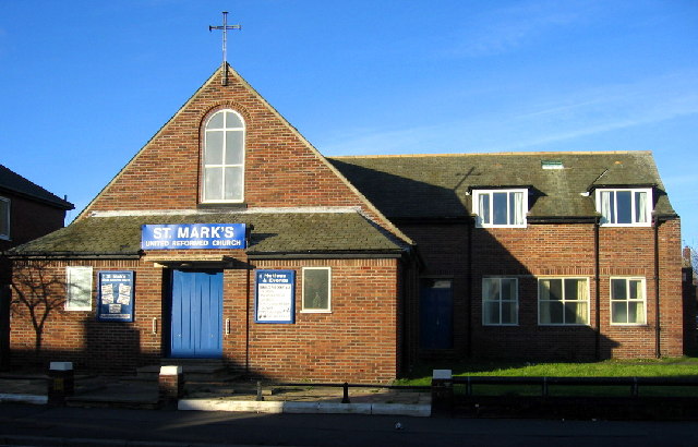
"A great expansion of housing since the war has resulted in a confusion of names here. In the '40s the then large area of open countryside (including a golf course) was called Willington and a small part of it to the south gave its name - Howden (with an 'e') - to the railway station. Now the larger area is called Howdon (with an 'o') with Willington only having a supporting role." Photo by Alan Fearon, 2005. -
Owner
Alan Fearon -
Source
Geograph (Geograph) -
License
What does this mean? Creative Commons License
-
Further information
Link: http://www.geograph.org.uk/photo/91990
Resource type: Image
Added by: Simon Cotterill
Last modified: 2 years, 6 months ago
Viewed: 431 times
Picture Taken: 2005-12-16 -
Co-Curate tags


