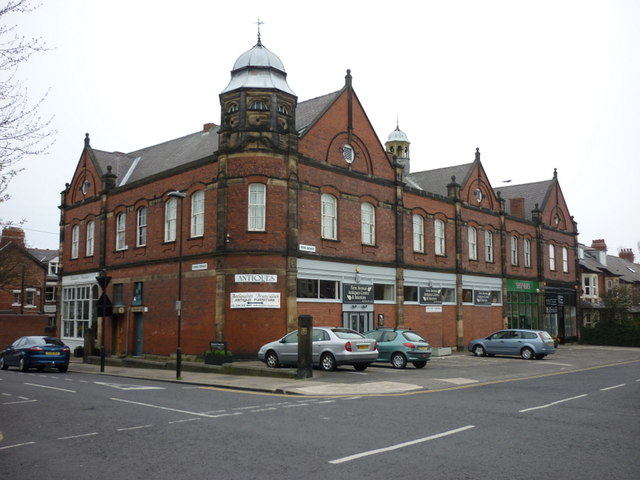
Stotes Hall

-
Description
DXNewcastle · Aug 19, 2012. ".....I can only answer the question about Stotes Hall. It appears on this map from 1902, on the east side of Jesmond Dene Road. [map of fields with main roads and railway overlaid by Watson Scott, 1902, originally published by Society of Antiquaries of Newcastle upon Tyne in 1904 in "An Account of Jesmond" by F.W. Dendy, "Archaeologia Aeliana, Third Series, Vol 1."] There's just a bit of flat grassland there now, but the road still makes a sharp bend around the site, as if there had been a building there...." -
Owner
SkyscaperCity -
Source
Local (Co-Curate) -
License
What does this mean? Unknown license check permission to reuse
-
Further information
Link: https://www.skyscrapercity.com/threads/jesmond-sandyford-and-shieldfield-area-developments.998705/page-15#post-94325831
Resource type: Text/Website
Added by: Peter Smith
Last modified: 2 years, 7 months ago
Viewed: 347 times
Picture Taken: Unknown -
Co-Curate tags


