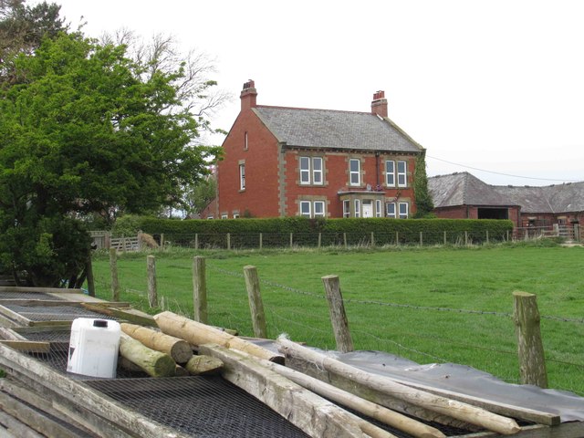
Post-medieval farmstead at East Newham (Belsay)

-
Description
"A post-medieval farmstead is visible as earthworks on air photographs and lidar at NZ 1165 7650. The farmstead comprises several enclosures and possible building remains. It encloses small areas of medieval ridge and furrow which once formed part of the open fields to the south. It is likely that the farmstead relates to village dispersal of Newham in the 17th century when the former tenements were reorganised into four leasehold units and this farmstead was established....." -
Owner
Keys to the Past (Durham & Northumbria County Councils) -
Source
Local (Co-Curate) -
License
What does this mean? Unknown license check permission to reuse
-
Further information
Link: https://keystothepast.info/search-records/results-of-search/results-of-search-2/site-details/?PRN=N28132
Resource type: Text/Website
Added by: Simon Cotterill
Last modified: 2 years, 8 months ago
Viewed: 385 times
Picture Taken: Unknown -
Co-Curate tags


