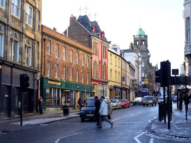
Westgate Road from junction with Fenkle Street

-
Description
"Westgate Road takes its name from a gate in Newcastle's medieval town walls. It was always a road from the town to the west, along the line of Hadrian's Wall. The West Gate was strongly fortified and stood near the junction of Westgate Road and Pink Lane http://www.flickr.com/photos/newcastlelibraries/4090507529/ The Gate and surrounding walls were demolished in 1811. There is another view of the buildings here [[1694074]]" Photo by Andrew Curtis, 2010. -
Owner
Andrew Curtis -
Source
Geograph (Geograph) -
License
What does this mean? Creative Commons License
-
Further information
Link: http://www.geograph.org.uk/photo/1694242
Resource type: Image
Added by: Simon Cotterill
Last modified: 3 years, 1 month ago
Viewed: 364 times
Picture Taken: 2010-01-31 -
Co-Curate tags


