Sills and the Silloan Field System

-
Description
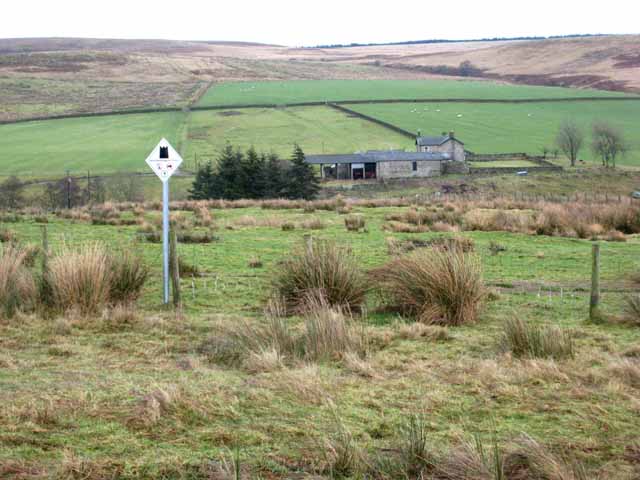
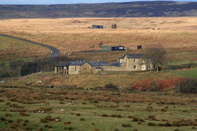
"Sills is one of the farms within the MOD ranges at Otterburn http://www.army.mod.uk/ate/public/otterburn.htm . The range area is dotted with innumerable archaeological areas (signed no vehicles and no digging) from all periods of history. Although like many archaeological sites there is little to see on the surface, the land in the foreground is an extensive area of post-Medieval sod cast dykes and turf field walls. Amongst this field system is a circular stack stand, 11m across. http://www.keystothepast.info/durhamcc/K2P.nsf/K2PDetail?readform&PRNMAP=N356." Photo by Oliver Dixon, 2008. -
Owner
Oliver Dixon -
Source
Geograph (Geograph) -
License
What does this mean? Creative Commons License
-
Further information
Link: http://www.geograph.org.uk/photo/655785
Resource type: Image
Added by: Simon Cotterill
Last modified: 2 years, 10 months ago
Viewed: 395 times
Picture Taken: 2008-01-11 -
Co-Curate tags


