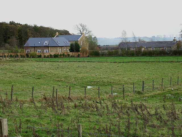
Enclosure south-east of East Marlish (Hartburn)

-
Description
"A rectilinear enclosure is visible as an earthwork on lidar imagery. It measures about 55m by 45m. It is overlain by ridge and furrow cultivation earthworks and later field boundaries...." -
Owner
Keys to the Past (Durham & Northumbria County Councils) -
Source
Local (Co-Curate) -
License
What does this mean? Unknown license check permission to reuse
-
Further information
Link: https://keystothepast.info/search-records/results-of-search/results-of-search-2/site-details/?PRN=N28314
Resource type: Text/Website
Added by: Simon Cotterill
Last modified: 2 years, 10 months ago
Viewed: 411 times
Picture Taken: Unknown -
Co-Curate tags


