Torleehouse

-
Description
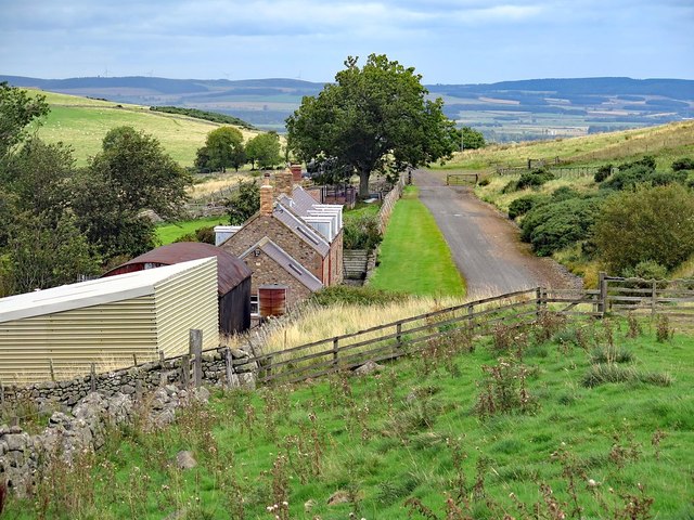
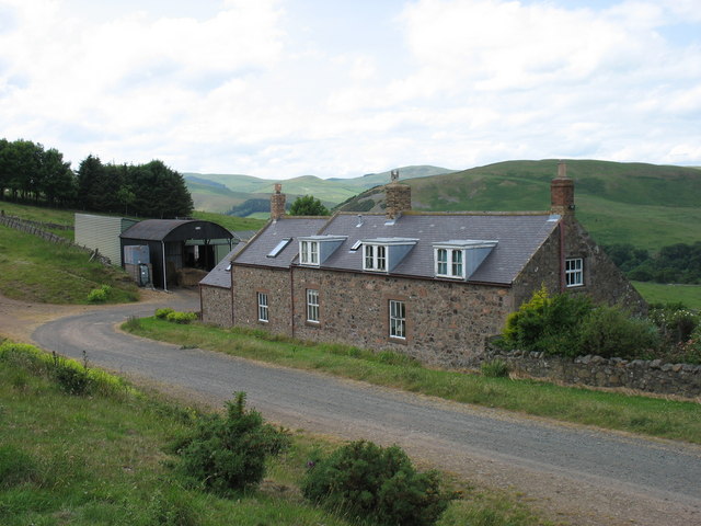
"The 1860 Ordnance Survey Name Book (Kirknewton Parish) describes Torleehouse as: "A Shepherds house in a glen N. of Newton Torrs, and S of West Hill, and about 3/4 mile E. of Heathpool, occupied by Mr. A Thompson's Shepherd."" Photo by Andrew Curtis, 2017. -
Owner
Andrew Curtis -
Source
Geograph (Geograph) -
License
What does this mean? Creative Commons License
-
Further information
Link: http://www.geograph.org.uk/photo/5533206
Resource type: Image
Added by: Simon Cotterill
Last modified: 2 years, 10 months ago
Viewed: 411 times
Picture Taken: 2017-09-10 -
Co-Curate tags


