LEVENS HALL - Grounds -= List Entry

-
Description
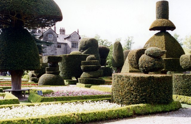
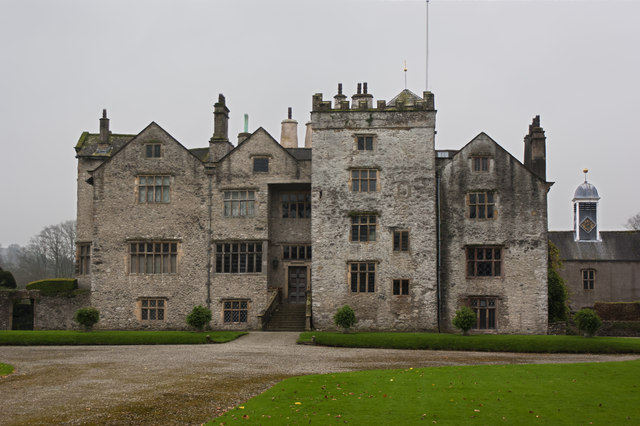
"A park and gardens laid out by Guillaume Beaumont between 1689 and 1712 which retain almost all of the essential elements of the completed scheme as shown on maps of the park and gardens of 1730.....Levens Hall is situated c 5km south-west of Kendal. The c 45ha site is situated in the valley of the River Kent in a setting which is rural and agricultural. The parkland consists of two separate areas of land, one to the north-east of the Hall on the far side of the A6, and the other to the west. The boundary to the north-eastern park is formed by a stone wall which completely encloses it. The boundary of the gardens and western park is formed by a stone wall on the east side, and a stone wall on the western boundary for a length of c 130m. The remainder of the southern and the western boundary is formed by a C20 fence, and the northern boundary is formed by the River Kent...." -
Owner
Historic England -
Source
Local (Co-Curate) -
License
What does this mean? Unknown license check permission to reuse
-
Further information
Link: https://historicengland.org.uk/listing/the-list/list-entry/1000667
Resource type: Text/Website
Added by: Simon Cotterill
Last modified: 3 years, 2 months ago
Viewed: 497 times
Picture Taken: Unknown -
Co-Curate tags


