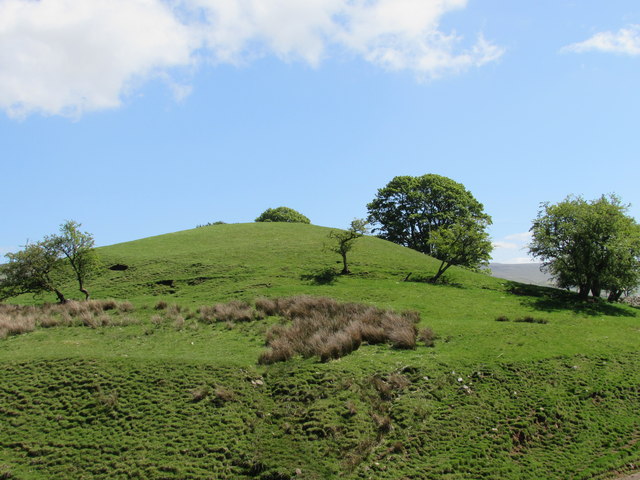
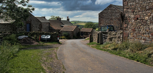
Earthworks at Haresceugh

-
Description
"Written in 'Oldie' writing on a 1:25K map is Haresceaugh Castle, next to the farm that bears the same name. The history is very brief, a Medieval Manor was recorded here in the 12thC, and a later Hall was recorded on the site in 1660, this building was in great ruin and mostly pulled down in 1820. The last of the stone building collapsed in 1866 and the stones have been removed from the site. It is shown on the 1867 map. But nothing more is shown on later maps." Photo by Matthew Hatton, 2015. -
Owner
Matthew Hatton -
Source
Geograph (Geograph) -
License
What does this mean? Creative Commons License
-
Further information
Link: http://www.geograph.org.uk/photo/4492575
Resource type: Image
Added by: Simon Cotterill
Last modified: 3 years, 5 months ago
Viewed: 410 times
Picture Taken: 2015-05-23 -
Co-Curate tags


