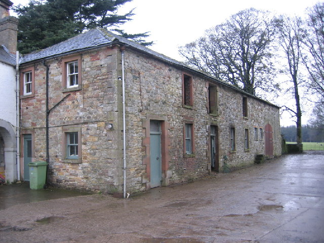
Snittlegarth moated site

-
Description
"....The monument includes Snittlegarth medieval moated site. It is located on a small plateau on a gently sloping hillside c.500m south west of Snittlegarth Farm and includes an island surrounded by a moat which is boggy in places and which is flanked on its eastern side by an outer bank. The island measures c.25m by 12m and is raised up to 1m above the surrounding landsurface. Surrounding the island is a partly waterlogged moat 4m-5m wide and up to 1.5m deep. The moat is flanked on its eastern side by an outer bank measuring c.4.5m wide and up to 1m high. Documentary sources dated to 1367 state that Sir Robert de Tilliol granted land at Ireby `except the site of the manor house within the water ditches' and thus indicate that the moated site was occupied during the mid-14th century...." -
Owner
Historic England -
Source
Local (Co-Curate) -
License
What does this mean? Unknown license check permission to reuse
-
Further information
Link: https://historicengland.org.uk/listing/the-list/list-entry/1013386
Resource type: Text/Website
Added by: Simon Cotterill
Last modified: 3 years, 5 months ago
Viewed: 390 times
Picture Taken: Unknown -
Co-Curate tags


