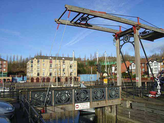
Bascule Bridge, St Peter's Basin

-
Description
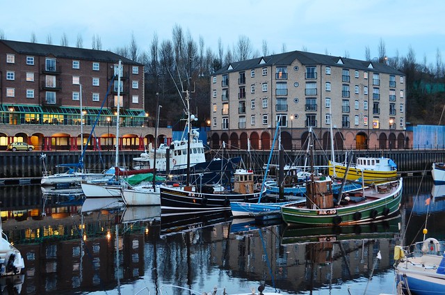
"The bascule bridge at the mouth of St Peter's Basin, a trendy new marina surrounded by smart new housing. Seen on a largely traffic-free route along the north side of the Tyne which is followed by both Hadrian's Wall National Trail http://www.nationaltrail.co.uk/hadrianswall/ and by route 72 of the National Cycle Network (Hadrian's Cycleway http://www.cycle-routes.org/HADRIANSCYCLEWAY/ and the Tynemouth branch of the C2C Cycle Route http://www.c2c-guide.co.uk/)." Photo by Oliver Dixon, 2008. -
Owner
Oliver Dixon -
Source
Geograph (Geograph) -
License
What does this mean? Creative Commons License
-
Further information
Link: http://www.geograph.org.uk/photo/1052185
Resource type: Image
Added by: Pat Thomson
Last modified: 3 years, 8 months ago
Viewed: 513 times
Picture Taken: 2008-11-18 -
Co-Curate tags


