Newcastle Through the Eyes of Nazi Planners


-
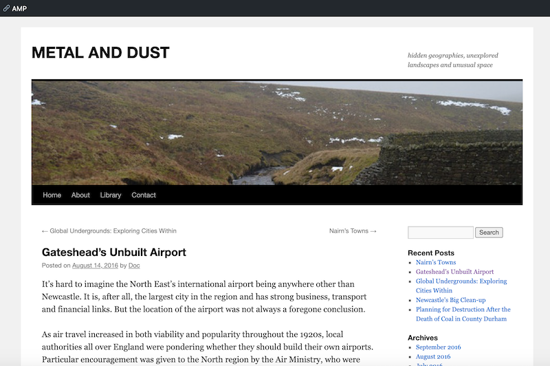
Description
"....Ordnance Survey maps certainly provided Nazi Germany with the most detailed cartography of Newcastle and Gateshead they could hope for. In a series of maps—entitled Militärgeographische Einzelangaben über England: Militärgeographische Objektkarten und Objektbildern or roughly The Military Geography of England: Object Maps and Object Images—Ordnance Survey maps were overlaid with purple outlines indicating a ‘military object’...." -
Owner
Metal and Dust -
Source
Local (Co-Curate) -
License
What does this mean? Unknown license check permission to reuse
-
Further information
Link: https://metalanddust.org/2016/06/27/newcastle-through-the-eyes-of-nazi-planners/
Resource type: Text/Website
Added by: Peter Smith
Last modified: 5 years, 4 months ago
Viewed: 778 times
Picture Taken: Unknown -
Co-Curate tags


