Kershopefoot

  • Description

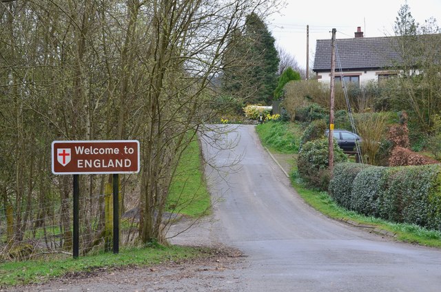
    "A Border hamlet at the confluence of the Kershope Burn and the Liddel Water. The border itself runs along the Kershope Burn and Kershopefoot is on the English side." Photo by Jim Barton, 2017.
  • Owner

    Jim Barton
  • Source

    Geograph (Geograph)
  • License

    What does this mean? Creative Commons License
  • Further information

    Link: http://www.geograph.org.uk/photo/5342549_0d14cea8_120x120.jpg
    Resource type: Image
    Added by: Peter Smith
    Last modified: 3 years, 2 months ago
    Viewed: 243 times
    Picture Taken: 2017-04-07
  • Co-Curate tags

Comments

Add a comment or share a memory.

Login to add a comment. Sign-up if you don't already have an account.

ABOUT US

Co-Curate is a project which brings together online collections, museums, universities, schools and community groups to make and re-make stories and images from North East England and Cumbria. Co-Curate is a trans-disciplinary project that will open up 'official' museum and 'un-officia'l co-created community-based collections and archives through innovative collaborative approaches using social media and open archives/data.

LATEST SHARED RESOURCES