Brusselton Incline east

-
Description
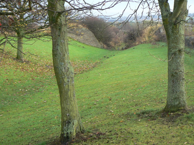
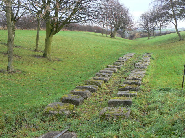
"The line ran in the bottom of the cutting. Also visible here are the abutments of what would have been a farm (or occupation) bridge, already redundant 150 years ago." Photo by Alan Murray-Rust, 2009. -
Owner
Alan Murray-Rust -
Source
Geograph (Geograph) -
License
What does this mean? Creative Commons License
-
Further information
Link: http://www.geograph.org.uk/photo/1586142
Resource type: Image
Added by: Simon Cotterill
Last modified: 5 years, 1 month ago
Viewed: 465 times
Picture Taken: 2009-11-10 -
Co-Curate tags


