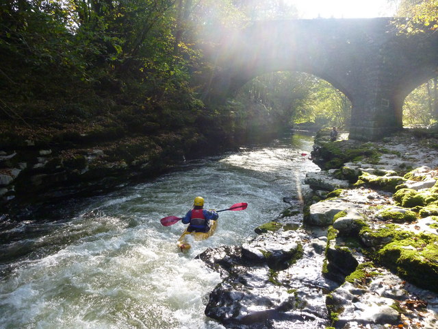
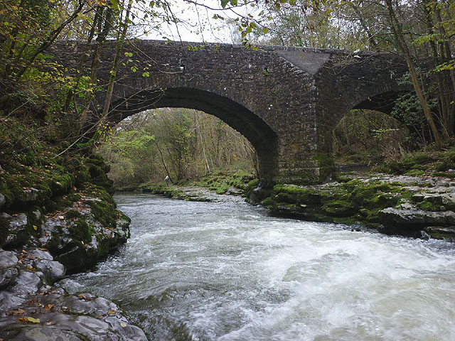
Prizet Bridge gorge, River Kent

-
Description
"A line slightly left of centre on the entry tongue to this rapid, which tends to kick the paddler sharply to the right, is usually best to avoid hitting the rock projection seen just behind Michael in this shot looking downstream towards the bridge. This was taken with the river showing 0.47m on the Environment Agency gauge ( http://www.environment-agency.gov.uk/homeandleisure/floods/riverlevels/120709.aspx?stationId=5126 ) at Sedgwick Weir [[1204509]], which is quite a low level, though the river goes at even lower levels, making it a good choice when it rains in summer. The rapid is easy to inspect by landing river right, behind the photographer, and the rock ledges offer a place to stand and provide safety cover, if needed. It's not the easiest place to put back in if choosing to portage, as the gorge continues with rocky sides for some distance beyond the bridge. This is the first significant rapid on the river, if paddling the section from Kendal down to the A65 bridge, and anyone who feels the need to portage this one might perhaps be better to get off to the road, as the worthwhile rapids beyond are successively harder." Photo by Andy Waddington, 2010. -
Owner
Andy Waddington -
Source
Geograph (Geograph) -
License
What does this mean? Creative Commons License
-
Further information
Link: http://www.geograph.org.uk/photo/2139768
Resource type: Image
Added by: Simon Cotterill
Last modified: 5 years, 2 months ago
Viewed: 500 times
Picture Taken: 2010-10-10 -
Co-Curate tags


