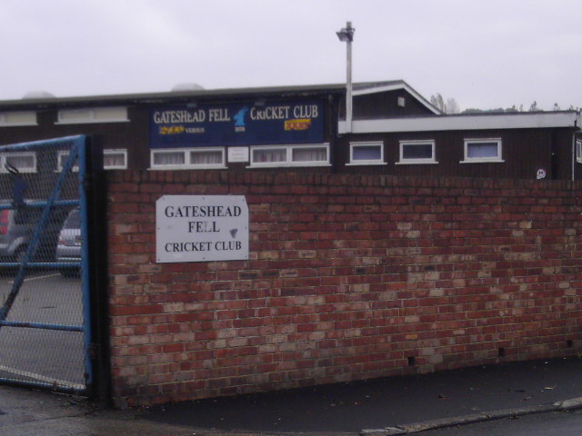
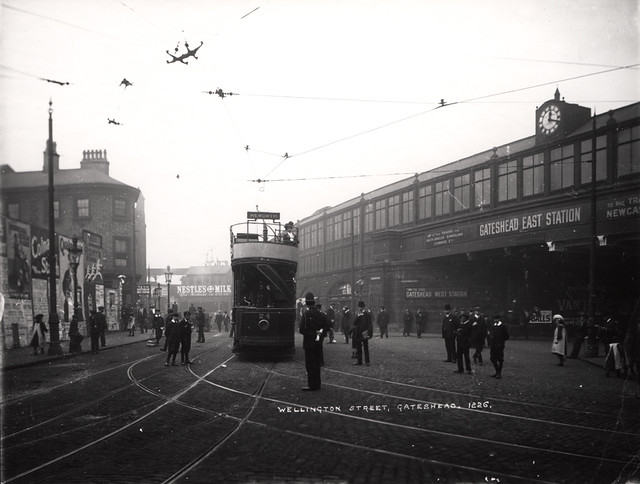
Tyne and Wear HER(289): Gateshead, Fell Dyke

-
Description
"In 1858 Longstaff described "...an ancient paved road from Newcastle to Usworth, (forming) the eastern boundary of the parish of Gateshead, ...now supplanted by hedges and walls". He also mentions that it appears as 'The Great Roman Way' on the Heworth Common Act and is also called 'Fell Dyke'. The enclosure award maps for Gateshead Fell show a continuous 'public foot road', usually entitled 'Roman Causeway', from the Old Durham Road southwards to the Wrekendyke, with a bend in the middle just north of Windy Nook Road...." -
Owner
SiteLines -
Source
Local (Co-Curate) -
License
What does this mean? Unknown license check permission to reuse
-
Further information
Link: https://www.twsitelines.info/SMR/289
Resource type: Text/Website
Added by: Simon Cotterill
Last modified: 5 years, 8 months ago
Viewed: 690 times
Picture Taken: Unknown -
Co-Curate tags


