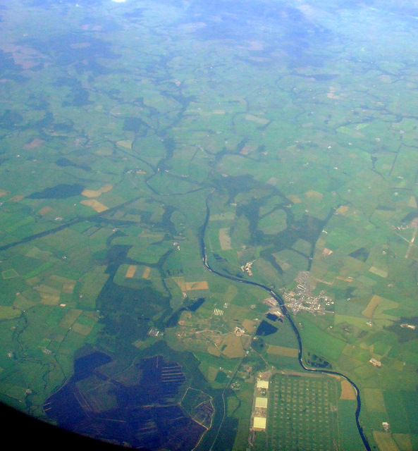
Longtown and the border from the air


-
Description
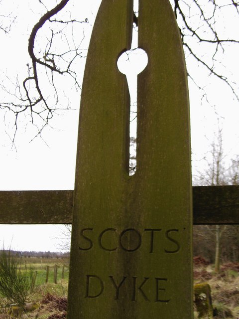
"Part of the DSDA (Defence Storage and Distribution Agency) depot can be seen at the bottom of the photo with Longtown village beyond it. The straight line of Scots Dyke which marks the border can be seen to the lower left, joining the River Esk which continues to the top of the photo." Photo by Thomas Nugent, 2011. -
Owner
Thomas Nugent -
Source
Geograph (Geograph) -
License
What does this mean? Creative Commons License
-
Further information
Link: http://www.geograph.org.uk/photo/2519871
Resource type: Image
Added by: Simon Cotterill
Last modified: 6 years, 4 months ago
Viewed: 596 times
Picture Taken: 2011-06-28 -
Co-Curate tags


