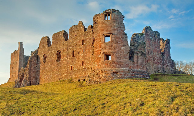
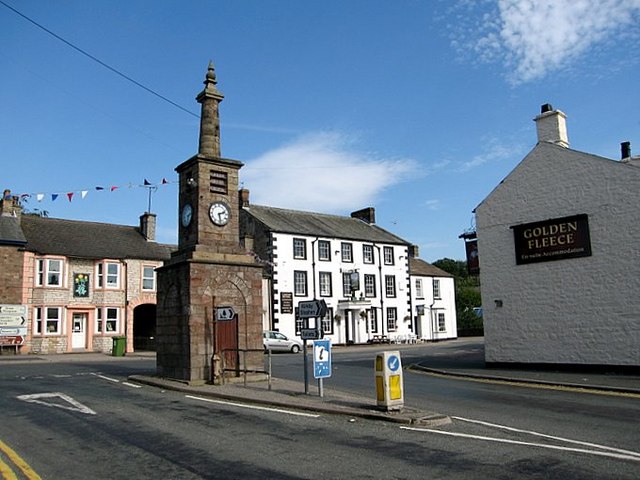
Brough Castle and Brough (Verteris) Roman fort and civil settlement

-
Description
"The upstanding and buried remains of Brough (Verteris) Roman fort and its associated civilian settlement, Brough medieval castle and a forework and a series of linear earthorks associated with the castle at Church Brough.....The Roman fort of Verteris was constructed on the highest part of a ridge on the south bank of Swindale Beck, a tributary of the River Eden, slightly downstream of its confluence with Augill Beck. It lies at the western end of the Stainmore Pass, a route followed by the main Roman road through the Pennines that connects the Roman legionary fortress at York (Eboracum) with the fort at Carlisle (Luguvalium). The occupation of the fort possibly dates from the governorship of Agricola (AD 78-84) to the end of the C4. The fort’s enclosure measured about 3 acres (1.2ha) while an extra-mural settlement or vicus lay on the fort’s east side and a Roman cemetery lay to the east of the vicus. The only evidence for the Roman garrison station at Brough comes from later copies of the Notitia Dignitatum, an official late-C4/early C5 ...." -
Owner
Historic England -
Source
Local (Co-Curate) -
License
What does this mean? Unknown license check permission to reuse
-
Further information
Link: https://historicengland.org.uk/listing/the-list/list-entry/1007148
Resource type: Text/Website
Added by: Simon Cotterill
Last modified: 6 years, 11 months ago
Viewed: 870 times
Picture Taken: Unknown -
Co-Curate tags


