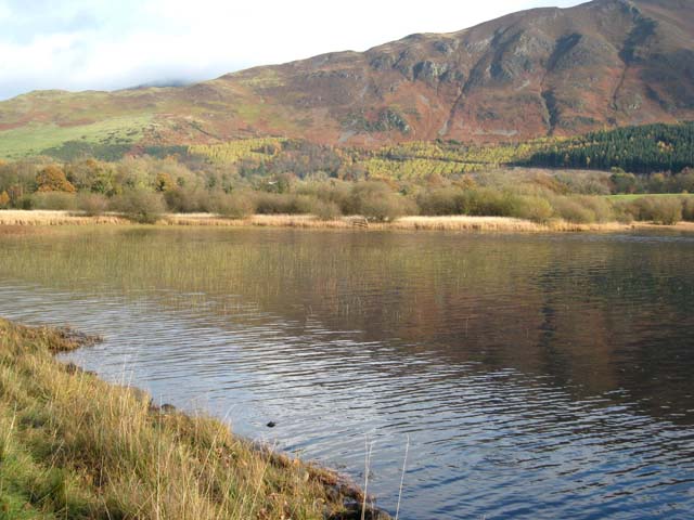
Bassenthwaite Lake on a 1925 Ordnance Survey map

-
Description
"This work is in the public domain because it is an Ordnance Survey map over 50 years old. Ordnance Survey maps are covered by crown copyright which in this case expires 50 years after publication. Ordnance Survey does however ask that they be credited and that the date of publication be given....." -
Owner
Wikimedia Commons -
Source
Local (Co-Curate) -
License
What does this mean? Unknown license check permission to reuse
-
Further information
Link: https://commons.wikimedia.org/wiki/File:Bassenthwaite_Lakecrop.jpg
Resource type: Text/Website
Added by: Edmund Anon
Last modified: 7 years ago
Viewed: 739 times
Picture Taken: Unknown -
Co-Curate tags


