Topics > Northumberland > Raylees
Raylees
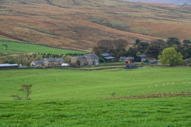
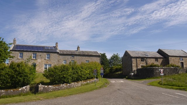
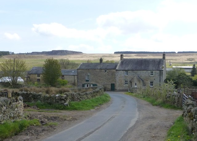
Raylees is a hamlet in Northumberland located off the A696 road about 2½ miles south-east of Otterburn. There is also a minor road here, running 1½ miles north-east to the village of Elsdon. The hamlet is situated by Raylees Burn. There was a medieval fortified farmhouse here, thought to be moated,[1] reflecting the frequent border raids of those times. Raylees forms part of Elsdon Civil Parish.


from https://keystothepast.info/se…
Raylees medieval farmstead
- "The remains of a lozenge-shaped enclosure lies above the Raylees Burn. The earthwork has two ramparts and a ditch, but these are now much ploughed down. Natural defences were also …
Added by
Simon Cotterill
Co-Curate Page
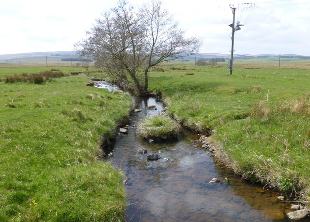
Raylees Burn
- Raylees Burn is a small river in Northumberland, which gives it's name to the village of Raylees. Raylees Burn joins Elsdon Burn just west of Monkridge, shortly before it's confluence …

from https://keystothepast.info/se…
Raylees medieval farmstead
- "The remains of a lozenge-shaped enclosure lies above the Raylees Burn. The earthwork has two ramparts and a ditch, but these are now much ploughed down. Natural defences were also …
Added by
Simon Cotterill


