Topics > Northumberland > Ramshope
Ramshope
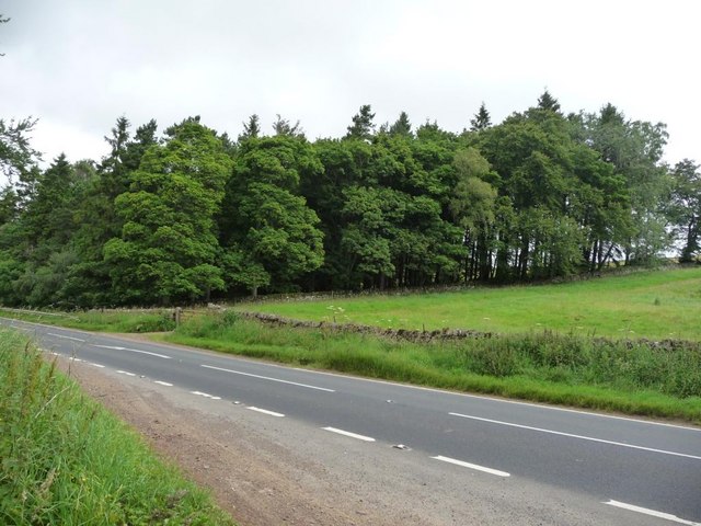
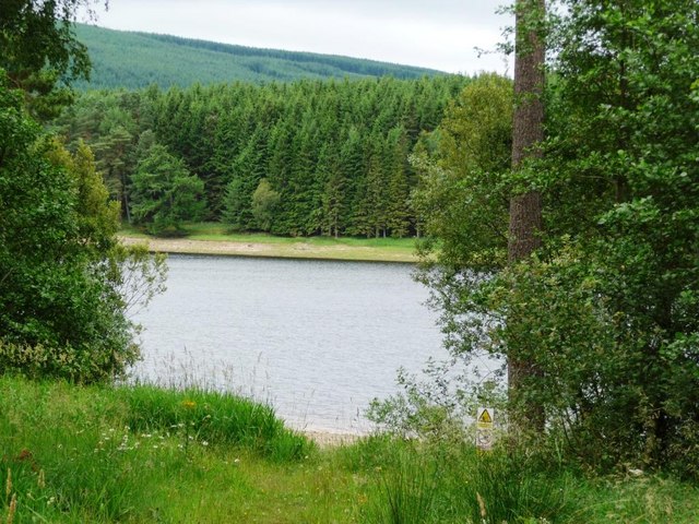
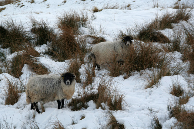
RAMSHOPE, an extra-parochial district, in the union of Bellingham, S. division of Coquetdale ward, N. division of Northumberland, 16¼ miles (N.N.W.) from Bellingham; containing 8 inhabitants. This wild region is separated from Scotland by CarterFell, a mountainous ridge rising 1,602 feet above the level of the sea. The Redeswire, a less stupendous barrier, extending from the former to Houndlaw, was the spot where, in 1400, Sir Robert Umfraville gained a victory over the Scots. It was also the scene, in 1575, of a warm conflict between the English warden and the Scottish warden, in which the former, who was the aggressor, being defeated and taken prisoner, was conveyed, with several of the border chieftains, to Dalkeith: the old ballad, "the Battle of Reid Squair," was founded upon the affray. Ramshope comprises by measurement 1467 acres of pasture land.
Extract from: A Topographical Dictionary of England comprising the several counties, cities, boroughs, corporate and market towns, parishes, and townships..... 7th Edition, by Samuel Lewis, London, 1848.