Topics > Northumberland > Newbigin > Old Milestone west of Newbiggin & Baybridge
Old Milestone west of Newbiggin & Baybridge
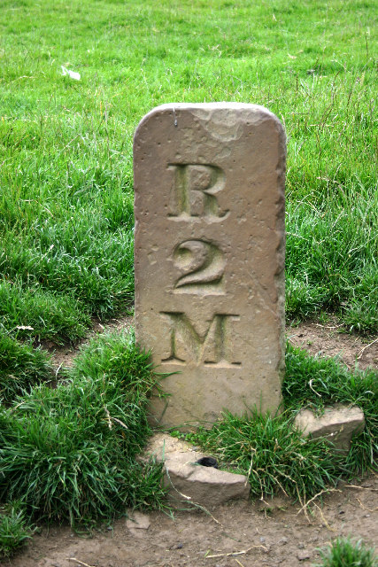
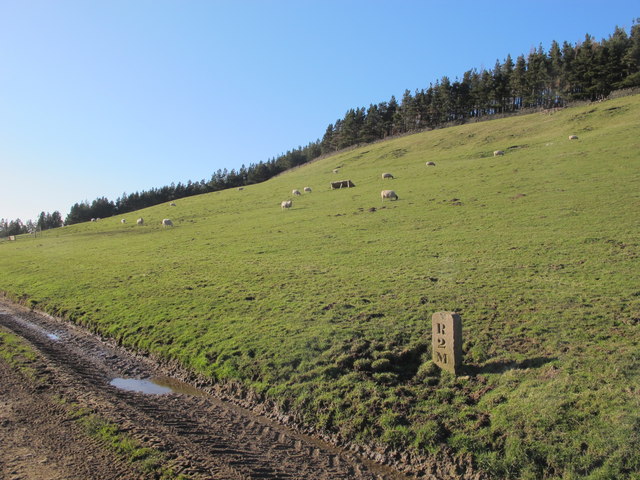
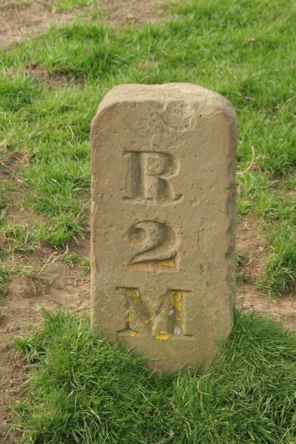
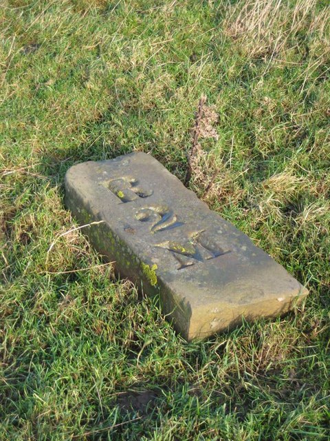
This c.19th century milestone, to the west of Newbiggin (Blanchland), is on the track from Baybridge to Riddlehamhope. It is inscribed "R 2 M" - two miles to Riddlehamhope.
Co-Curate Page
Old Milestone, south of Harwood Shield
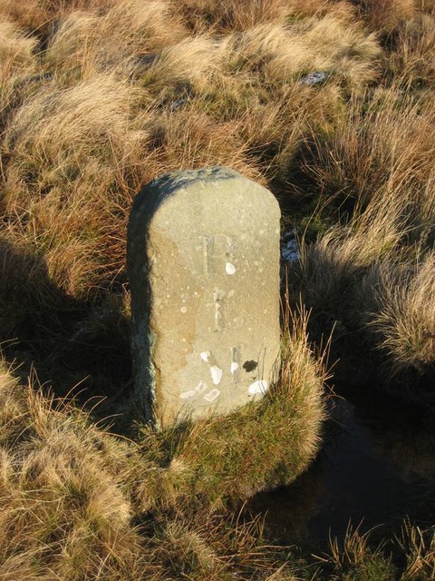
- Overview Map To the south of Harwood Shield, near the bridge over Devil's Water, is a 19th century milestone inscrbed "R 1 M" - indicating 1 mile to Riddlehamhope. The …
Co-Curate Page
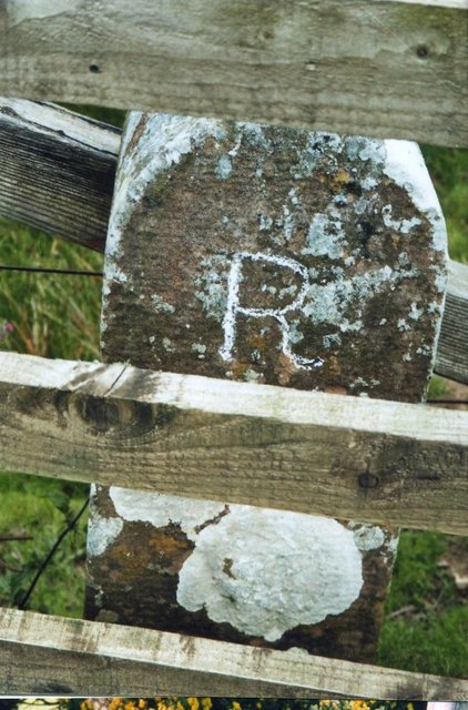
Old Milestone, west of Beldon Shield
- This c.19th century milestone on Beldon Side, is located to the west of Beldon Shield (Blanchland), is on the track from Baybridge to Riddlehamhope. It is inscribed "R 1 M" …

Co-Curate Page
Old Milestone, south of Harwood Shield
- Overview Map To the south of Harwood Shield, near the bridge over Devil's Water, is a 19th century milestone inscrbed "R 1 M" - indicating 1 mile to Riddlehamhope. The …