Topics > Civil Parishes in Cumbria > Nicholforest Civil Parish
Nicholforest Civil Parish
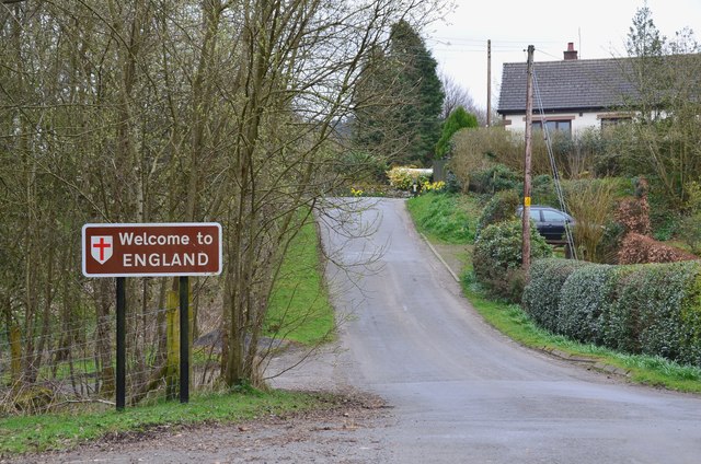
The parish is on the border with Scotland, bounded to the west by Liddel Water, and to the north by Kershope Burn.
Area: 34.4 km²
Population:
347 (2021 Census)
372 (2011 Census)
386 (2001 Census)
Co-Curate Page
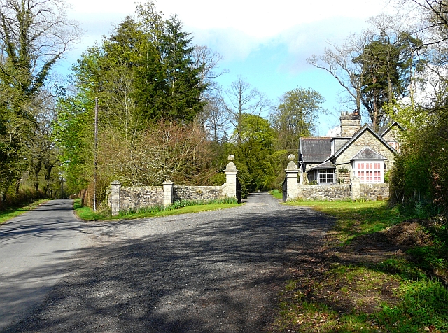
Kershopefoot
- Overview Map Street View Kershopefoot is a hamlet in Cumbria, located close to the Scotland-England border, about 7 miles north-west of Bewcastle. It is situated by the confluence of Kershope …

Co-Curate Page
Nicholforest, 1848
- NICHOL-FOREST, a chapelry, in the parish of Kirk-Andrews-upon-Esk, union of Longtown, Eskdale ward, E. division of Cumberland, 10½ miles (N.E. by N.) from Longtown; containing 825 inhabitants, of whom 449 …
Co-Curate Page
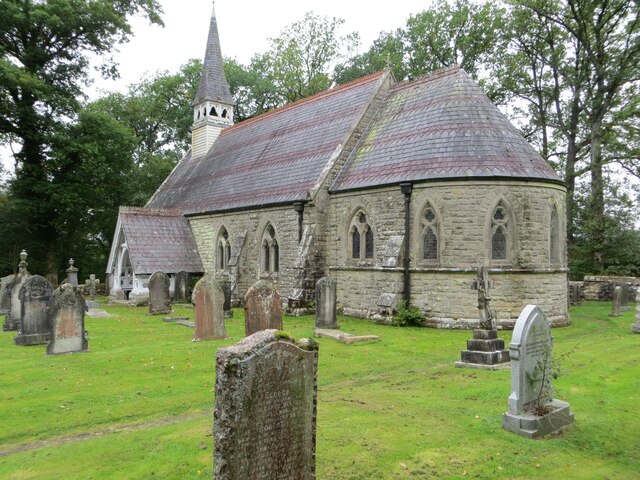
St Nicholas Church, Nicholforest
- Overview Map Street View Parish church for Nicholforest. 1866-1867 by Alexander Graham. Grade II listed on the National Heritage List for England. There had been an earlier chapel here at …
from IllustratedChronicles (flickr)
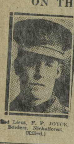
2nd Lieut. F.P. JOYCE, Borders, Nicholforest, (Killed).
Pinned by Simon Cotterill

Co-Curate Page
Kershopefoot
- Overview Map Street View Kershopefoot is a hamlet in Cumbria, located close to the Scotland-England border, about 7 miles north-west of Bewcastle. It is situated by the confluence of Kershope …
Co-Curate Page
Nicholforest, 1848
- NICHOL-FOREST, a chapelry, in the parish of Kirk-Andrews-upon-Esk, union of Longtown, Eskdale ward, E. division of Cumberland, 10½ miles (N.E. by N.) from Longtown; containing 825 inhabitants, of whom 449 …
Co-Curate Page
St Nicholas Church, Nicholforest
- Overview Map Street View Parish church for Nicholforest. 1866-1867 by Alexander Graham. Grade II listed on the National Heritage List for England. There had been an earlier chapel here at …
from IllustratedChronicles (flickr)
2nd Lieut. F.P. JOYCE, Borders, Nicholforest, (Killed).
Pinned by Simon Cotterill


