Topics > Civil Parishes in Cumbria > Sedbergh Civil Parish > Marthwaite
Marthwaite
Marthwaite was one of four divisions of the ancient parish of Sedbergh.
Co-Curate Page
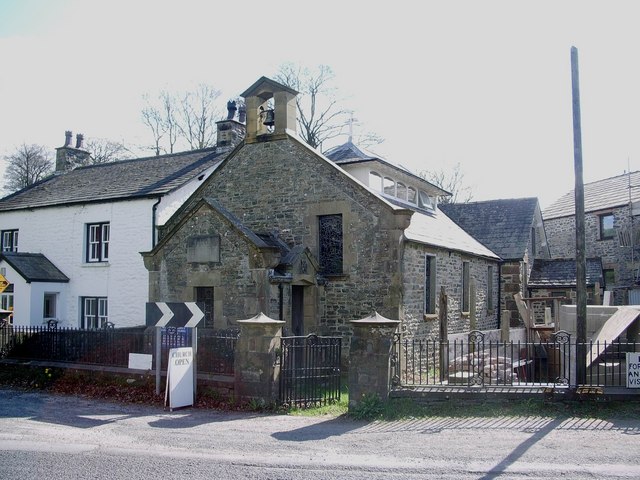
Church of St Gregory (Vale of Lune Chapel)
- Overview Map Street View The former Church of St Gregory (aka Vale of Lune Chapel) is located by the A684 road, about 1 mile west of Sedbergh. It was built …
Co-Curate Page
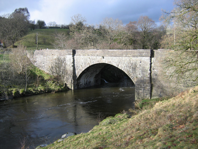
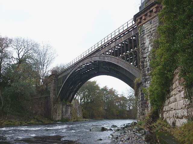
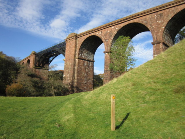
Lune Viaduct at Newbys Dub
- Overview Map Street View The Lune Viaduct at Newbys Dub is located near the hamlet of Waterside and about 1½ miles north-west of Sedbergh. It was built to carry the …
Co-Curate Page
Brigflatts Quaker Meeting House, Sedbergh
- Overview About Brigflatts Map Brigflatts Quaker Meeting House, located about half a mile south-west of Sedbergh in Cumbria, was built in 1675.[1] George Fox, the founder of the Religious Society …
Co-Curate Page
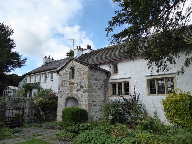
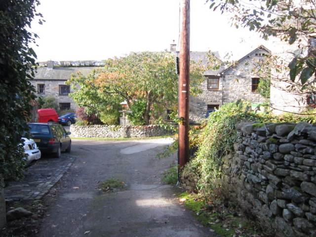
High Oaks, Sedbergh
- Overview Map Street View High Oaks is a hamlet in Cumbria, located in Marthwaite, just over 1½ miles south-west of the town of Sedbergh. The Dales Way passes throuh High …
from Geograph (geograph)
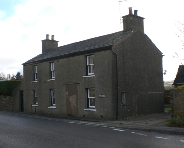
Tollhouse by the A684, Station Road, Randall Hill, Sedbergh
Pinned by Simon Cotterill

Co-Curate Page
Church of St Gregory (Vale of Lune Chapel)
- Overview Map Street View The former Church of St Gregory (aka Vale of Lune Chapel) is located by the A684 road, about 1 mile west of Sedbergh. It was built …
Co-Curate Page
Lune Viaduct at Newbys Dub
- Overview Map Street View The Lune Viaduct at Newbys Dub is located near the hamlet of Waterside and about 1½ miles north-west of Sedbergh. It was built to carry the …
Co-Curate Page
Brigflatts Quaker Meeting House, Sedbergh
- Overview About Brigflatts Map Brigflatts Quaker Meeting House, located about half a mile south-west of Sedbergh in Cumbria, was built in 1675.[1] George Fox, the founder of the Religious Society …
Co-Curate Page
High Oaks, Sedbergh
- Overview Map Street View High Oaks is a hamlet in Cumbria, located in Marthwaite, just over 1½ miles south-west of the town of Sedbergh. The Dales Way passes throuh High …
from Geograph (geograph)
Tollhouse by the A684, Station Road, Randall Hill, Sedbergh
Pinned by Simon Cotterill