Topics > Tyne and Wear > Newcastle upon Tyne > Denton Burn > Map and Aerial View
Map and Aerial View
Google Map: drag to move the view, zoom in and out using the control (lower right-hand corner); switch to map view (lower left-hand control)
Co-Curate Page
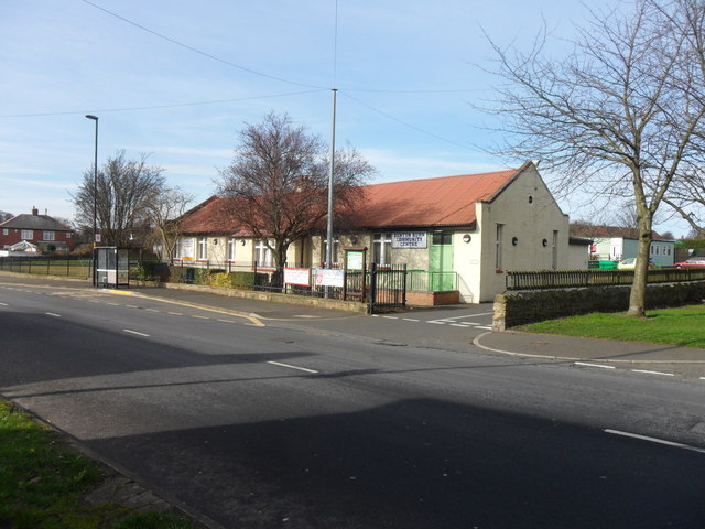
Denton Burn
- Overview About Denton Burn Map Street View Denton Burn is an area situated 4 miles (6 km) to the west of the city centre of Newcastle upon Tyne in …


 Water Body")


