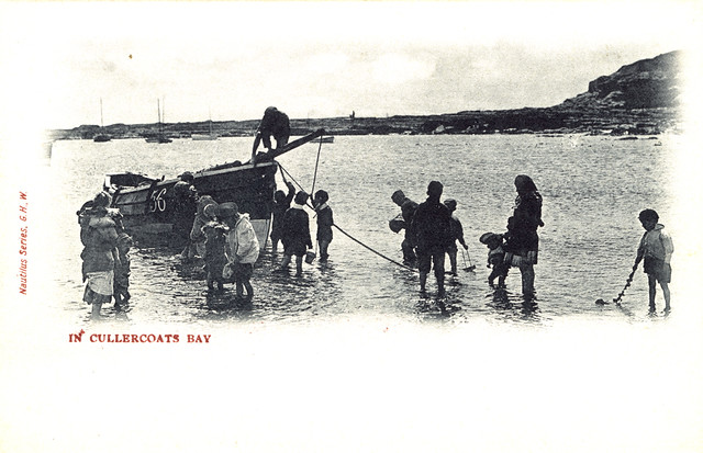
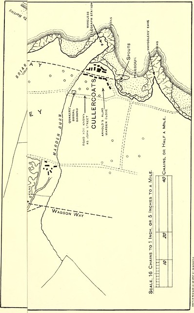
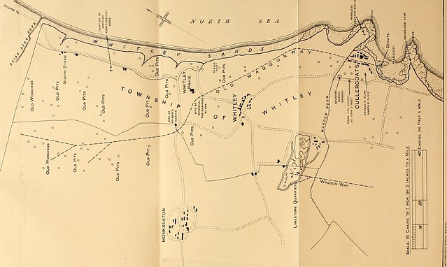
Topics > Tyne and Wear > North Tyneside > Cullercoats > Map and Aerial View

Map and Aerial View


Google Map: drag to move the view, zoom in and out using the control (lower right-hand corner); switch to map view (lower left-hand control)
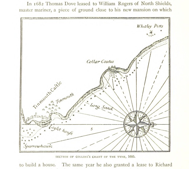
Cullercoats
from Flickr (flickr)
Cullercoats c.1910

Pinned by Simon Cotterill
from Flickr (flickr)
Map of the Township of Whitley c.18th century

Pinned by Simon Cotterill
from Flickr (flickr)
Section of Collin's Chart of the Tyne, 1685

Pinned by Simon Cotterill

Comments

Add a comment or share a memory.

Login to add a comment. Sign-up if you don't already have an account.


ABOUT US

Co-Curate is a project which brings together online collections, museums, universities, schools and community groups to make and re-make stories and images from North East England and Cumbria. Co-Curate is a trans-disciplinary project that will open up 'official' museum and 'un-officia'l co-created community-based collections and archives through innovative collaborative approaches using social media and open archives/data.

LATEST SHARED RESOURCES