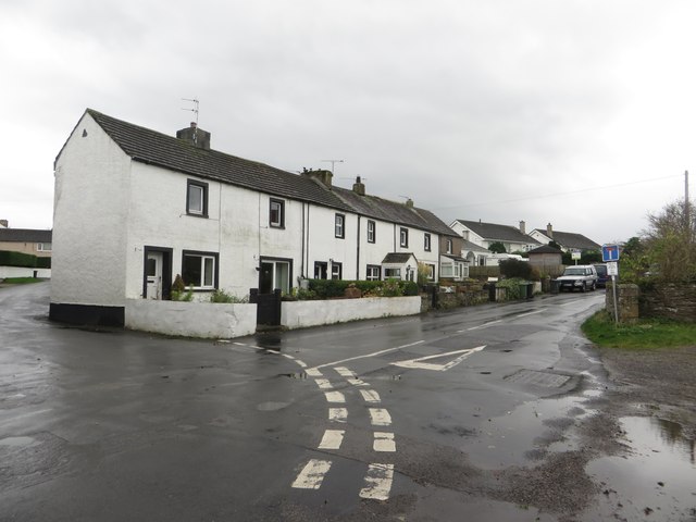
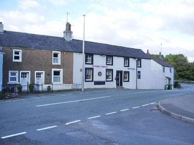
Topics > Civil Parishes in Cumbria > Little Clifton Civil Parish
Little Clifton Civil Parish
Area: 4.2 km²
Population:
487 (2021 Census)
480 (2011 Census)
391 (2001 Census)
Listed buildings and scheduled monuments in Little Clifton Civil Parish, Cumbria, from the National Heritage List for England[1].
| Structure | List No. | Grade | Built~ | Note |
|---|---|---|---|---|
| Plunderland Farmhouse and Adjoining Barn | 1327184 | II | 1739 | |
| Little Clifton open heap coke producing bases and associated slag heap, 220m north of Oldfield Bridge | 1018072 | n/a | C18th | Scheduled Monument |
Primary source: the National Heritage List for England - NHLE is the register of nationally protected historic buildings and sites in England, including listed buildings, scheduled monuments, protected wrecks, registered parks and gardens, and battlefields. The list is maintained by Historic England. Check NHLE for updates and new entries. Secondary sources: British Listed Buildings.
Co-Curate Page
Little Clifton
- Overview About Little Clifton Map Street View CLIFTON, LITTLE, a township, in the parish of Workington, union of Cockermouth, Allerdale ward above Derwent, W. division of Cumberland, 3¼ miles (E.) …
Co-Curate Page
Bridgefoot
- Overview About Bridgefoot Map Street View Bridgefoot is a village in Cumbria, historically part of Cumberland, near the Lake District National Park in England. It is situated at the …

Co-Curate Page
Little Clifton
- Overview About Little Clifton Map Street View CLIFTON, LITTLE, a township, in the parish of Workington, union of Cockermouth, Allerdale ward above Derwent, W. division of Cumberland, 3¼ miles (E.) …


