Topics > Civil Parishes in Cumbria > Lazonby Civil Parish > Lazonby Parish, 1848
Lazonby Parish, 1848
LAZONBY (St. Nicholas), a parish, in the union of Penrith, Leath ward, E. division of Cumberland; containing, with the chapelry of Plumpton-Wall, 891 inhabitants, of whom 570 are in the township of Lazonby, 7 miles (N.N.E.) from Penrith. The township comprises 7,980a. 1r. 17p., of which 3,888a. 2r. 20p. are arable, 1,140a. 2r. 35p. wood and plantations, 62a. 2r. 7p. meadow and pasture, and 2,888a. 1r. 35p. waste. The village is situated on the west bank of the river Eden, and the surrounding country is pleasing. There are good quarries of freestone, and a quarry producing stone for millstones. The living is a vicarage, endowed with a portion of the rectorial tithes, and valued in the king's books at £13. 1. 3.; net income, £551; patron, the Bishop of Carlisle: the remainder of the rectorial tithes belong to the poor of the chapelry of Witherslack, Westmorland. At Plumpton-Wall is a separate incumbency. In Baron Wood is a lofty rock, containing an artificial cave called Giant's Chamber, or Samson's Cave. The great Roman road passes from north to south, and another intersects the parish in a direction towards Salkeld Gate. At Castle Rigg are the ruins of a moated building; and upon the fell, urns containing bones and ashes were discovered some years since. There are also several cairns.
Extract from: A Topographical Dictionary of England comprising the several counties, cities, boroughs, corporate and market towns, parishes, and townships..... 7th Edition, by Samuel Lewis, London, 1848.
Co-Curate Page
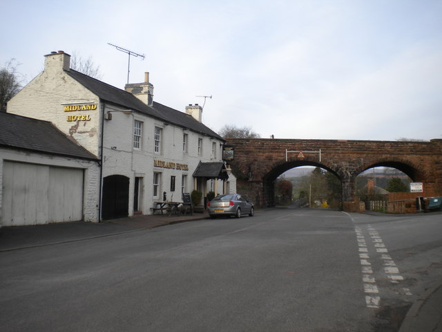
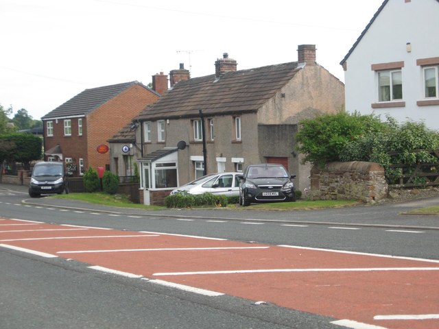
Lazonby
- Overview About Lazonby Map Street View Lazonby (from Old Norse *leysingi 'freedman', Old English bȳ, 'village' ) is a village and civil parish in the Lower Eden Valley of …

from https://www.cumbriacountyhist…
Lazonby Parish
- "Township in Lazonby parish, Leath ward, Cumberland...manor of Lazonby held by Stutevilles in 12th century, descending with barony of Burgh (q.v.) to Dacres; forfeited on attainder of Leonard Dacre 1570; …
Added by
Edmund Anon
from https://www.cumbriacountyhist…
Plumpton Wall Township
- "Township in Lazonby parish, Leath Ward, Cumberland. Absorbed into Hesket CP 1934....Plumpton park was royal demesne, part of Inglewood Forest. Disparked by Henry VIII; leased to Musgraves in later 16th …
Added by
Simon Cotterill
Co-Curate Page
Plumpton, Cumbria
- Overview About Plumpton Map Street View PLUMPTON-WALL, a township and chapelry, in the parish of Lazonby, union of Penrith, Leath ward, E. division of Cumberland, 4 miles (N. by W.) …

Co-Curate Page
Lazonby
- Overview About Lazonby Map Street View Lazonby (from Old Norse *leysingi 'freedman', Old English bȳ, 'village' ) is a village and civil parish in the Lower Eden Valley of …
from https://www.cumbriacountyhist…
Lazonby Parish
- "Township in Lazonby parish, Leath ward, Cumberland...manor of Lazonby held by Stutevilles in 12th century, descending with barony of Burgh (q.v.) to Dacres; forfeited on attainder of Leonard Dacre 1570; …
Added by
Edmund Anon
from https://www.cumbriacountyhist…
Plumpton Wall Township
- "Township in Lazonby parish, Leath Ward, Cumberland. Absorbed into Hesket CP 1934....Plumpton park was royal demesne, part of Inglewood Forest. Disparked by Henry VIII; leased to Musgraves in later 16th …
Added by
Simon Cotterill


