Topics > Civil Parishes in Cumbria > Satterthwaite Civil Parish > Historic Buildings and Monuments in Satterthwaite Civil Parish
Historic Buildings and Monuments in Satterthwaite Civil Parish
Listed buildings and scheduled monuments in Satterthwaite Civil Parish, Cumbria, from the National Heritage List for England[1]. In the absence of a published 'local list', some other public buildings of interest may also be included. Use the Search (below) if looking for a specific building / monument.
| Structure | List No. | Grade | Built~ | Note |
|---|---|---|---|---|
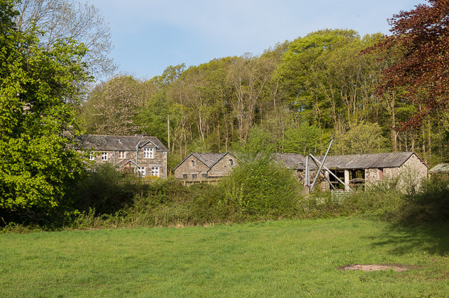
| Cunsey Mill | 1087240 | II | 1890 | Water driven sawmill |
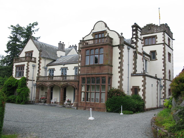
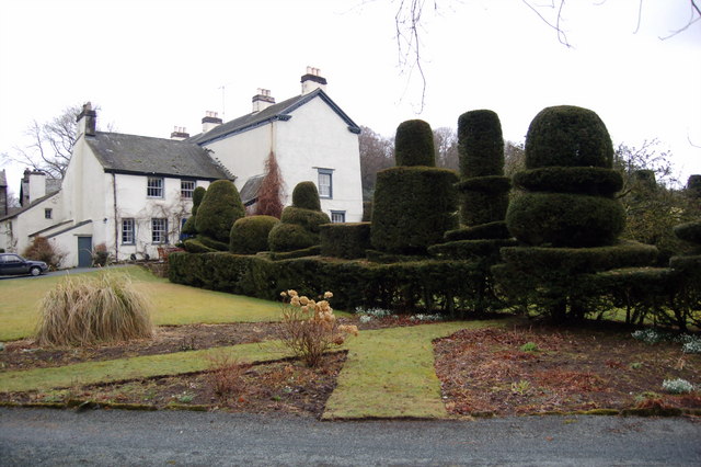
| Graythwaite Hall | 1335765 | II | C16th | |
| Graythwaite Old Hall | 1087200 | II* | C16th | aka Low Hall |
| Laburnum Cottage | 1335746 | II | C17th | |
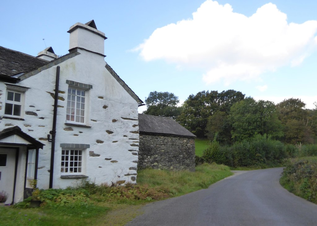
| Low Bowkerstead and Barn | 1087241 | II | C17th | House & barn |
| Old Bobbin Mill | 1087199 | II | C18th | Now a house. Force Forge. |
| Old Vicarage | 1122691 | II | C19th | |
| Silverholme | 1335766 | II | c.1800 | House |
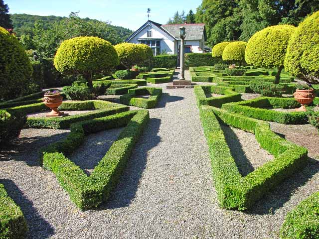
| Gardens at Graythwaite Hall | 1466895 | II* | 1895 | Listed Park and Garden |
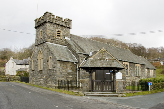
| Church of All Saints | Not listed | n/a | 1914 | Satterthwaite. On the site of an earlier church. |
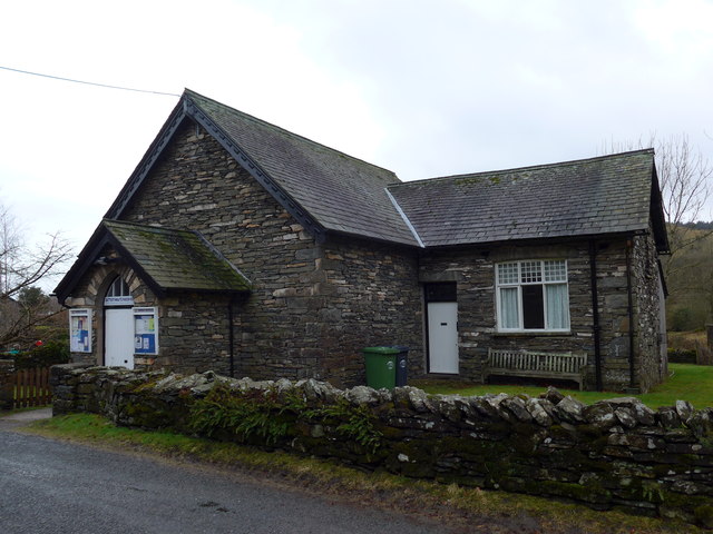
| Satterthwaite Parish Room | Not listed | n/a | 1883 | Satterthwaite |
| Cunsey Bridge | 1106232 | II | C18th | Partly in Claife Civil Parish |
Primary source: the National Heritage List for England - NHLE is the register of nationally protected historic buildings and sites in England, including listed buildings, scheduled monuments, protected wrecks, registered parks and gardens, and battlefields. The list is maintained by Historic England. Check NHLE for updates and new entries. Secondary sources: British Listed Buildings.
Co-Curate Page
Church of All Saints, Satterthwaite
- Overview Map Street View All Saints Church in Satterthwaite was built in 1837, in an Early-English style by Montague Ainslie. It replaced an earlier chapel of ease to St Michael's …
Co-Curate Page
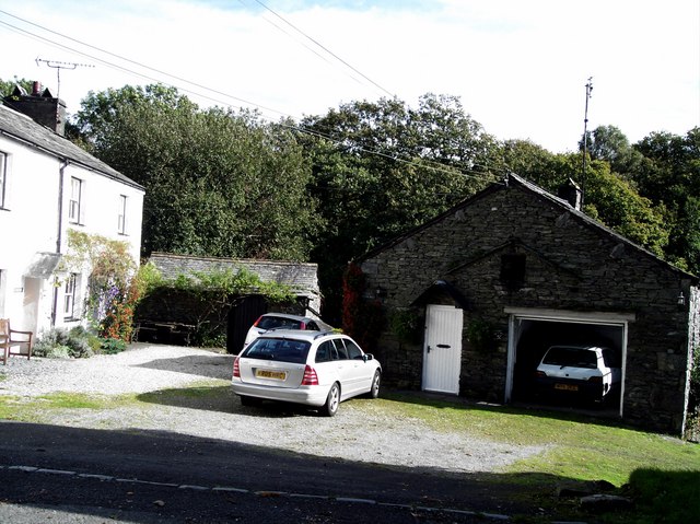
Old Bobbin Mill, Force Forge
- Old Bobbin Mill is a former mill, now a house, are loacted at Force Forge. The mill was built in the 18th or early 19th century and supplied bobbins for …
Co-Curate Page
Low Bowkerstead and Barn
- Overview Map Street View The house and barn at Low Bowkerstead date from the late 17th or 18th century. The buildings are Grade II listed on the National Heritage List …
Co-Curate Page
Cunsey Mill
- Overview Map Cunsey Mill, is located by Cunsey Beck, just west of Windermere (lake). The water-driven saw mill was built in 1890, and replaced an older bobbin mill here, which …
Co-Curate Page
Satterthwaite Parish Room
- Overview Map Street View The Parish Room in Satterthwaite was designed by Grundys of Ulverston and built in 1883.[1] The building was extended in c.1900 to add a Reading Room …
Co-Curate Page
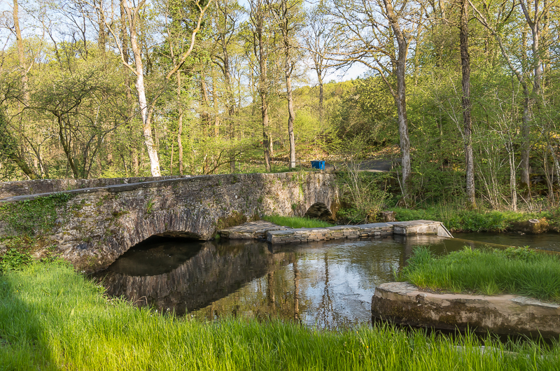
Cunsey Bridge
- Overview Map Street View Cunsey Bridge is a stone rubble road bridge across Cunsey Beck, thought to date from the 18th century. The bridge has two segmental arches with a …

Co-Curate Page
Church of All Saints, Satterthwaite
- Overview Map Street View All Saints Church in Satterthwaite was built in 1837, in an Early-English style by Montague Ainslie. It replaced an earlier chapel of ease to St Michael's …
Co-Curate Page
Old Bobbin Mill, Force Forge
- Old Bobbin Mill is a former mill, now a house, are loacted at Force Forge. The mill was built in the 18th or early 19th century and supplied bobbins for …
Co-Curate Page
Low Bowkerstead and Barn
- Overview Map Street View The house and barn at Low Bowkerstead date from the late 17th or 18th century. The buildings are Grade II listed on the National Heritage List …
Co-Curate Page
Cunsey Mill
- Overview Map Cunsey Mill, is located by Cunsey Beck, just west of Windermere (lake). The water-driven saw mill was built in 1890, and replaced an older bobbin mill here, which …
Co-Curate Page
Satterthwaite Parish Room
- Overview Map Street View The Parish Room in Satterthwaite was designed by Grundys of Ulverston and built in 1883.[1] The building was extended in c.1900 to add a Reading Room …


