Topics > Tyne and Wear > Gateshead > Harlow Green

Harlow Green


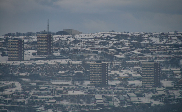
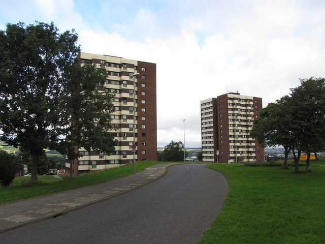
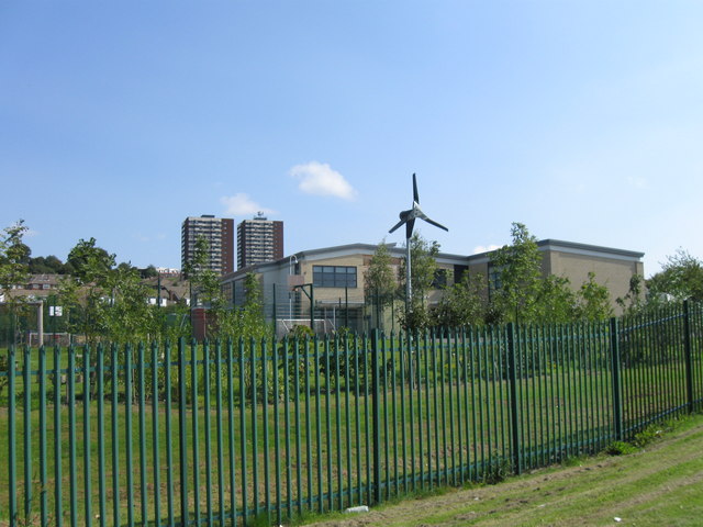
Harlow Green is a residential area of Gateshead. A large part of the area is a 1960s housing estate, designed to segregate pedestrians and cars, and there are also 2 large tower blocks. The area is served by Harlow Green Primary School, and to the north-west are Ravensworth Golf Course and other green spaces.

Gateshead Map and Aerial View
from Geograph (geograph)
Harlow Green

Pinned by Pat Thomson
from Geograph (geograph)
Flats in Allerdene

Pinned by Pat Thomson
from Geograph (geograph)
Wind Turbine, Harlow Green Community Primary School

Pinned by Pat Thomson
  Co-Curate Page
Map and Aerial View
-

Comments

Add a comment or share a memory.

Login to add a comment. Sign-up if you don't already have an account.


ABOUT US

Co-Curate is a project which brings together online collections, museums, universities, schools and community groups to make and re-make stories and images from North East England and Cumbria. Co-Curate is a trans-disciplinary project that will open up 'official' museum and 'un-officia'l co-created community-based collections and archives through innovative collaborative approaches using social media and open archives/data.

LATEST SHARED RESOURCES