Topics > Northumberland > Carrawbrough
Carrawbrough
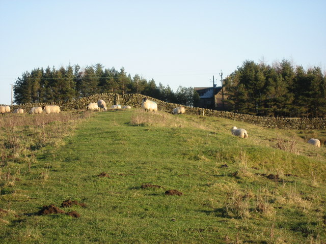
Carrawbrough is located off the B6318 (the 'Military Road' which runs parralal to Hadrian's Wall) about 3 miles west of Chollerford, and is about 6 miles north-west of Hexham. The house at Carrawbrough Farm dates from the late 17th century, and was altered in the 19th century. Carrawburgh Farmhouse with it's adjacent outbuildings are Grade II listed on the National Heritage List for England. A short distance west of the farm is Brocolitia Roman Fort, the Temple of Mithras, and Coventina's Well.


from https://historicengland.org.u…
CARRAWBURGH FARMHOUSE WITH ADJACENT OUTBUILDINGS - Newbrough - List Entry
- House, late C17, altered C19. Rubble with stone dressings, much taken from Roman Wall nearby; slate roof with stone copings and kneelers, ashlar corniced stacks. T-plan with rear wing; side …
Added by
Simon Cotterill
Co-Curate Page
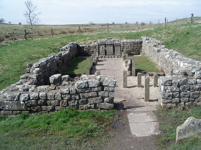
Coventina's Well
- Overview Map Coventina's Well was situated close to Brocolitia Roman fort on Wall Mile 31 of Hadrian's Wall (east of modern-day Carrawbrough). The well and shrine here was dedicated to …

Co-Curate Page
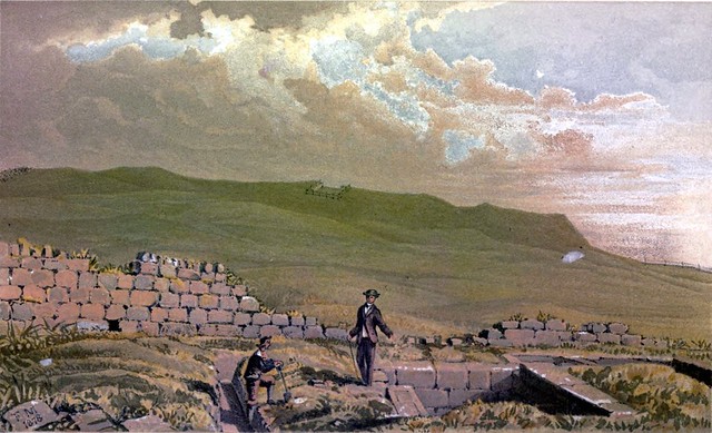
Wall Mile 31
- <Mile 30 | Mile 31 | Mile 32> Hadrian's Wall - Wall Mile 31 Hadrian's Wall stretches from the east to west coast of England and was an important frontier …

from https://historicengland.org.u…
CARRAWBURGH FARMHOUSE WITH ADJACENT OUTBUILDINGS - Newbrough - List Entry
- House, late C17, altered C19. Rubble with stone dressings, much taken from Roman Wall nearby; slate roof with stone copings and kneelers, ashlar corniced stacks. T-plan with rear wing; side …
Added by
Simon Cotterill
Co-Curate Page
Coventina's Well
- Overview Map Coventina's Well was situated close to Brocolitia Roman fort on Wall Mile 31 of Hadrian's Wall (east of modern-day Carrawbrough). The well and shrine here was dedicated to …


