Topics > Northumberland > Burnmouth, Whitfield

Burnmouth, Whitfield


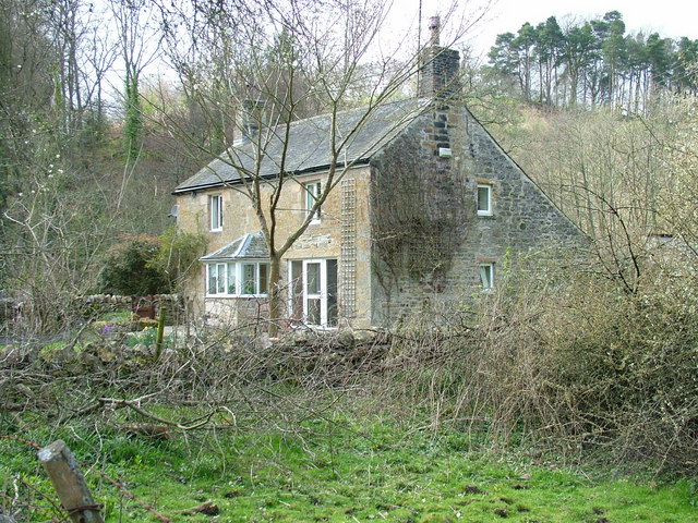
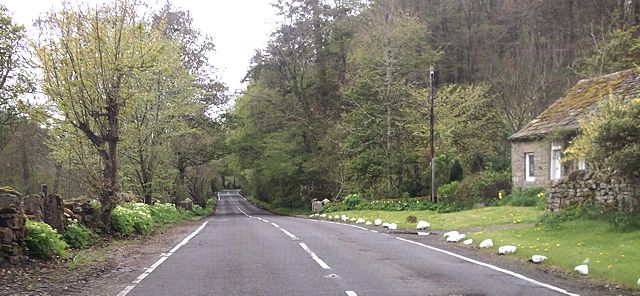
Burnmouth is located on the A686 road about 3 miles south-west of Langley and 1 mile north-east of Beasbridge. It is situated at the mouth of Church Burn, which joins the River West Allen here. The bridge at Burnmouth dates from the 18th century. There is a single house here.

Northumberland Plenmeller with Whitfield Civil Parish Church Burn (trib. West Allen) Burnmouth Bridge, Whitfield
from Geograph (geograph)
Burnmouth

Pinned by Simon Cotterill
from Geograph (geograph)
Burnmouth on the A686

Pinned by Simon Cotterill

Comments

Add a comment or share a memory.

Login to add a comment. Sign-up if you don't already have an account.


ABOUT US

Co-Curate is a project which brings together online collections, museums, universities, schools and community groups to make and re-make stories and images from North East England and Cumbria. Co-Curate is a trans-disciplinary project that will open up 'official' museum and 'un-officia'l co-created community-based collections and archives through innovative collaborative approaches using social media and open archives/data.

LATEST SHARED RESOURCES