Topics > Northumberland > Bomarsund, Northumberland
Bomarsund, Northumberland
Bomarsund is a village in Northumberland, in England. It is situated to the north of Bedlington, and just south of Stakeford.
The village grew around a coal pit opened in 1854 and was named after the August 1854 battle – part of the Crimean War – at the fortress of Bomarsund in Sund, Åland Islands, now part of Finland. The village was home to the former Northumberland Brewery. Bomarsund won the National Village Cricket Championship in 1974. They beat a team from Collingham, Nottinghamshire by three wickets in the final, which was played at Edgbaston, after the original match at Lord's was rained off.
Visit the page: Bomarsund, Northumberland for references and further details. You can contribute to this article on Wikipedia.

from https://keystothepast.info/se…
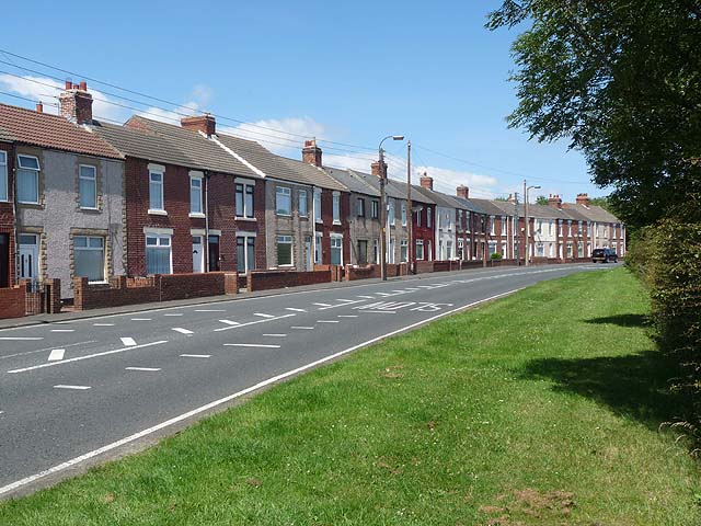
Bomarsund terrace
- "The original Bomarsund pit terrace is shown in early mapping of the area. The form of this as a pit village is typical of the 19th century Northumbrian coalfield. In …
Added by
Simon Cotterill
from https://keystothepast.info/se…
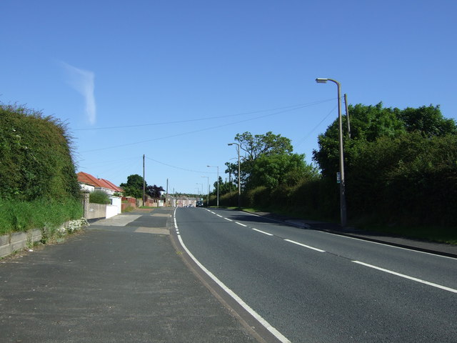
Ridge and furrow between Thornley Terrace and the railway line, Bomarsund
- "Blocks of medieval and/or post medieval ridge and furrow are visible as earthworks and cropmarks on historical air photos. These remains are located in fields between Thornley Terrace and the …
Added by
Simon Cotterill
from https://keystothepast.info/se…
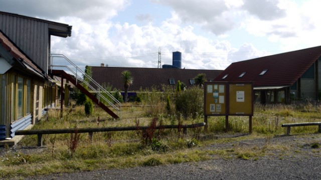
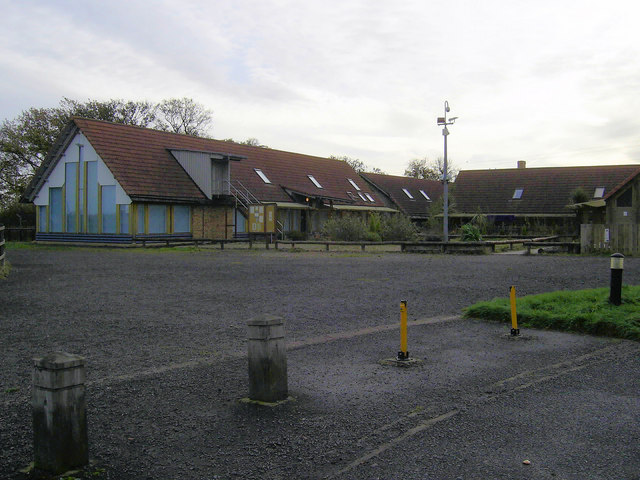
Stakeford and Bomarsund War Memorial Hall
- "The War Memorial Hall was built by the Miner's Welfare Fund and opened in 1922...."
Added by
Simon Cotterill

from https://keystothepast.info/se…
Bomarsund terrace
- "The original Bomarsund pit terrace is shown in early mapping of the area. The form of this as a pit village is typical of the 19th century Northumbrian coalfield. In …
Added by
Simon Cotterill
from https://keystothepast.info/se…
Ridge and furrow between Thornley Terrace and the railway line, Bomarsund
- "Blocks of medieval and/or post medieval ridge and furrow are visible as earthworks and cropmarks on historical air photos. These remains are located in fields between Thornley Terrace and the …
Added by
Simon Cotterill
from https://keystothepast.info/se…
Stakeford and Bomarsund War Memorial Hall
- "The War Memorial Hall was built by the Miner's Welfare Fund and opened in 1922...."
Added by
Simon Cotterill


