Topics > Northumberland > Black Carts
Black Carts
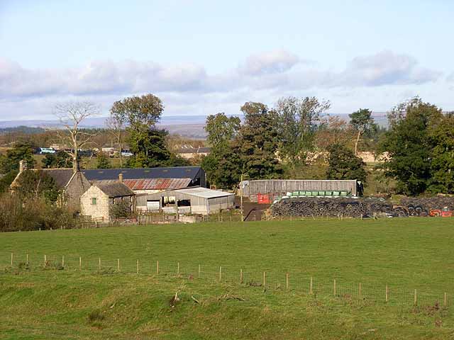
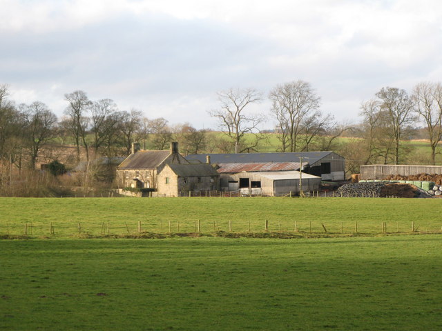
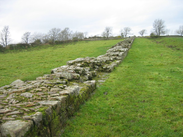
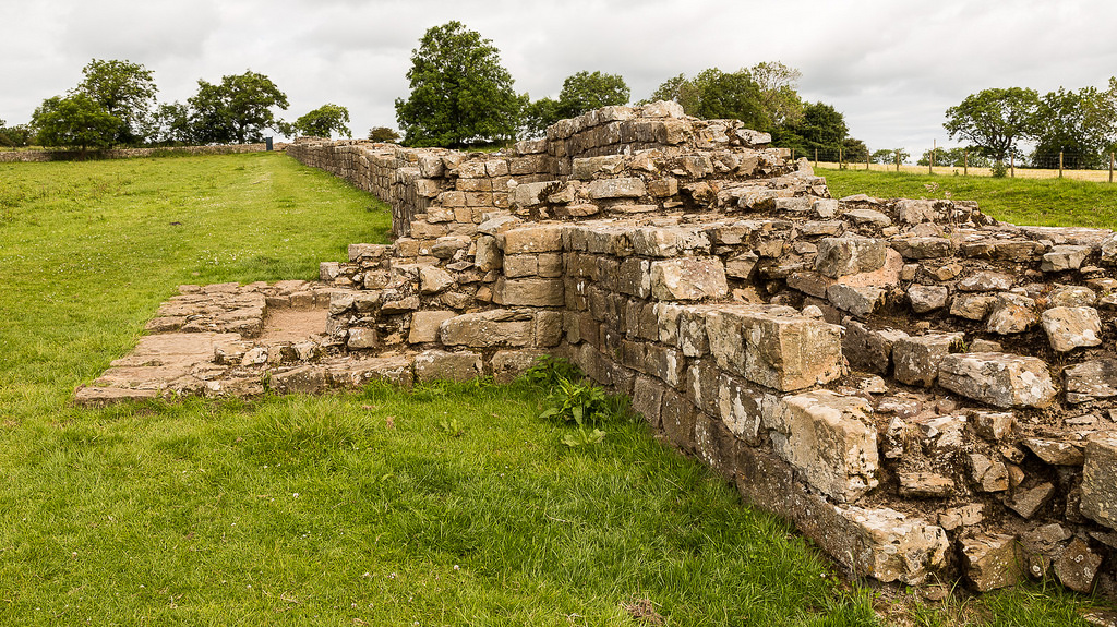
Black Carts is a farm in Northumberland, located about 2 miles west of Chollerford. Hadrian's Wall runs through the area and there are significant remains at Black Cart Turret. Historically, Black Carts and Ryehill were an extraparochial liberty (an area independant of a parish). Today, Black Carts is part of Humshaugh Civil Parish.
BLACK-CARTS, forming with Ryehill an extraparochial liberty, in the union of Hexham, N.W. division of Tindale ward, S. division of Northumberland, and containing 17 inhabitants. It comprises 447 acres of land.
Extract from: A Topographical Dictionary of England comprising the several counties, cities, boroughs, corporate and market towns, parishes, and townships..... 7th Edition, by Samuel Lewis, London, 1848.
Co-Curate Page
Turret 29a (Black Carts)
- Overview Map Street View Turrets on Hadrian’s Wall were small watchtowers built into the wall, with two turrets per Roman mile, located between larger milecastles. They provided elevated viewpoints for …


