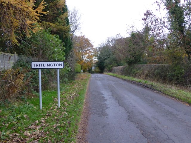
Topics > Northumberland > Civil Parishes in Northumberland > Tritlington and West Chevington Civil Parish
Tritlington and West Chevington Civil Parish
Area: 22.6 km²
Population:
256 (2021 Census)
245 (2011 Census)
187 (2001 Census)
Co-Curate Page
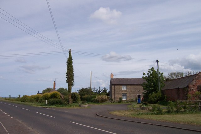
West Chevington
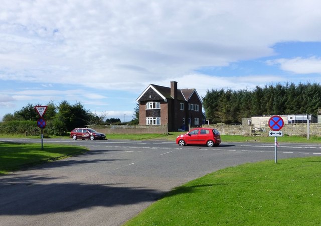
- Overview Map Street View West Chevington is a farming hamlet in Northumberland, located about 8 miles north-east of Morpeth, and just under 3 miles west of the coast at Druridge …
Co-Curate Page
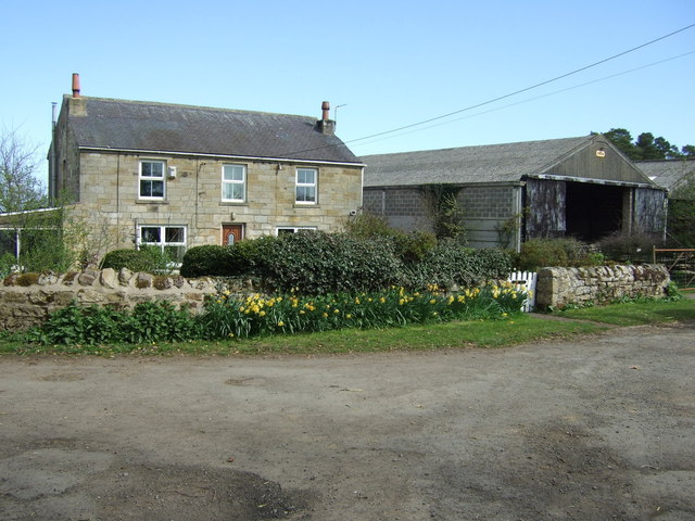
Causey Park
- CAUSEY-PARK, a township, in the parochial chapelry of Hebburn, union of Morpeth, W. division of Morpeth ward, N. division of Northumberland, 6½ miles (N. by W.) from Morpeth; containing 116 …
Co-Curate Page
Fenrother
- FENROTHER, a township, in the parochial chapelry of Hebburn, union of Morpeth, W. division of Morpeth ward, N. division of Northumberland, 4 miles (N.W. by N.) from Morpeth; containing 92 …
Co-Curate Page
Earsdon
- The hamlets of Earson, Earsdon Mill, Earsdon Moor and Earsdon Hill are located about 5 miles north of Morpeth in Northumberland. In the past Earsdon and Earsdon Forest were townships …
Co-Curate Page
Chevington Moor
- Overview Map Street View Chevington Moor is a hamlet in Northumberland, located about 6 miles north of Morpeth, 2 miles north-west of Widdrington Station, and 4 miles west of the …

from https://northumberlandparishe…
Tritlington and West Chevington Parish Council
- Website of Tritlington and West Chevington Parish Council
Added by
Simon Cotterill

Co-Curate Page
West Chevington
- Overview Map Street View West Chevington is a farming hamlet in Northumberland, located about 8 miles north-east of Morpeth, and just under 3 miles west of the coast at Druridge …
Co-Curate Page
Causey Park
- CAUSEY-PARK, a township, in the parochial chapelry of Hebburn, union of Morpeth, W. division of Morpeth ward, N. division of Northumberland, 6½ miles (N. by W.) from Morpeth; containing 116 …
Co-Curate Page
Fenrother
- FENROTHER, a township, in the parochial chapelry of Hebburn, union of Morpeth, W. division of Morpeth ward, N. division of Northumberland, 4 miles (N.W. by N.) from Morpeth; containing 92 …
Co-Curate Page
Earsdon
- The hamlets of Earson, Earsdon Mill, Earsdon Moor and Earsdon Hill are located about 5 miles north of Morpeth in Northumberland. In the past Earsdon and Earsdon Forest were townships …
Co-Curate Page
Chevington Moor
- Overview Map Street View Chevington Moor is a hamlet in Northumberland, located about 6 miles north of Morpeth, 2 miles north-west of Widdrington Station, and 4 miles west of the …
from https://northumberlandparishe…
Tritlington and West Chevington Parish Council
- Website of Tritlington and West Chevington Parish Council
Added by
Simon Cotterill

")


