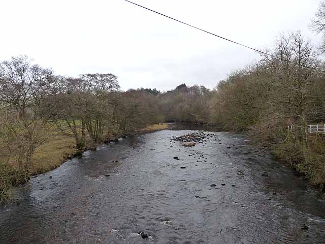
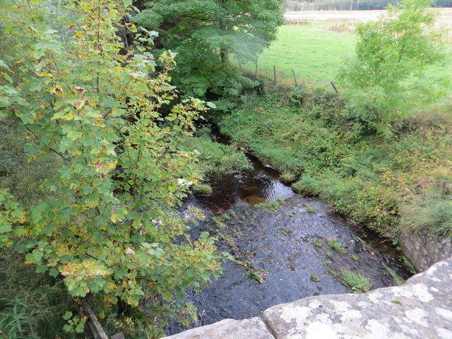
Topics > Geography > Rivers > River Rede > Spithope Burn
Co-Curate Page
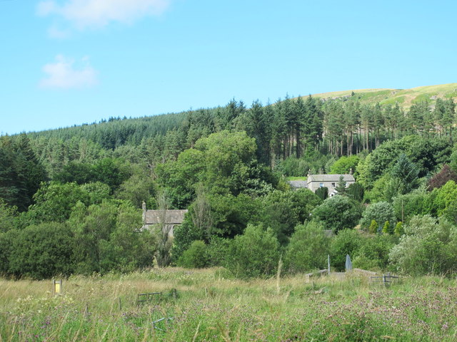
Spithope, Nothumberland
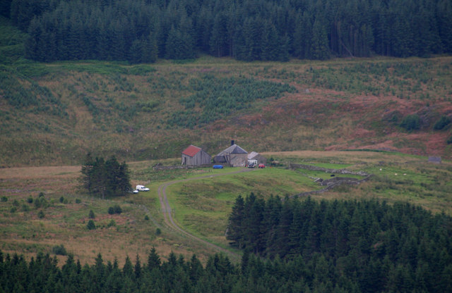
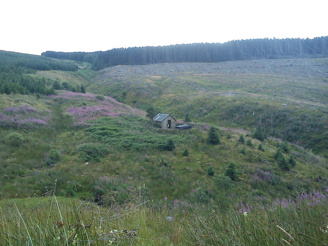
- Spithope (bothy) and Spithopehead (farm) are located to the north of Byrness Village in Northumberland, very close to the boarder with Scotland.
Co-Curate Page
Byrness
- Overview About Byrness Map BYRNESS, a chapelry, in the parish of Elsdon, union of Rothbury, S. division of Coquetdale ward, N. division of Northumberland, 13¾ miles (N.N.W.) from Bellingham. This …

Co-Curate Page
Spithope, Nothumberland
- Spithope (bothy) and Spithopehead (farm) are located to the north of Byrness Village in Northumberland, very close to the boarder with Scotland.