Topics > Northumberland > Civil Parishes in Northumberland > Rochester and Byrness Civil Parish
Rochester and Byrness Civil Parish
Co-Curate Page
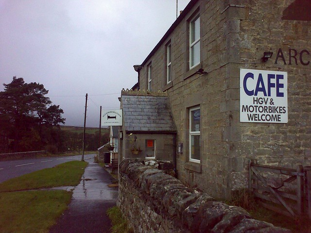
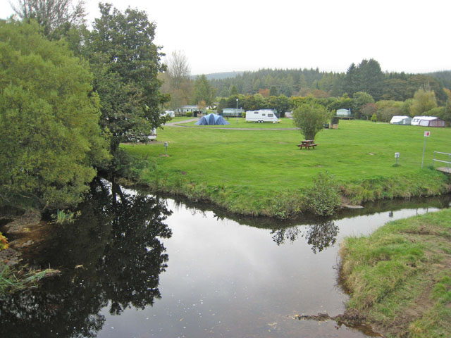
Rochester
- Overview About Rochester Map Street View Rochester is a village in Northumberland, located on the A68 road, about 5 miles north-west of Otterburn and 9½ miles south-east of the border …
Co-Curate Page
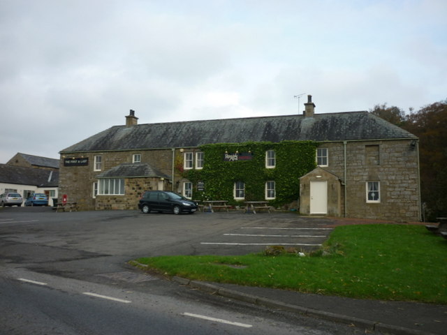
Byrness
- Overview About Byrness Map BYRNESS, a chapelry, in the parish of Elsdon, union of Rothbury, S. division of Coquetdale ward, N. division of Northumberland, 13¾ miles (N.N.W.) from Bellingham. This …
Co-Curate Page
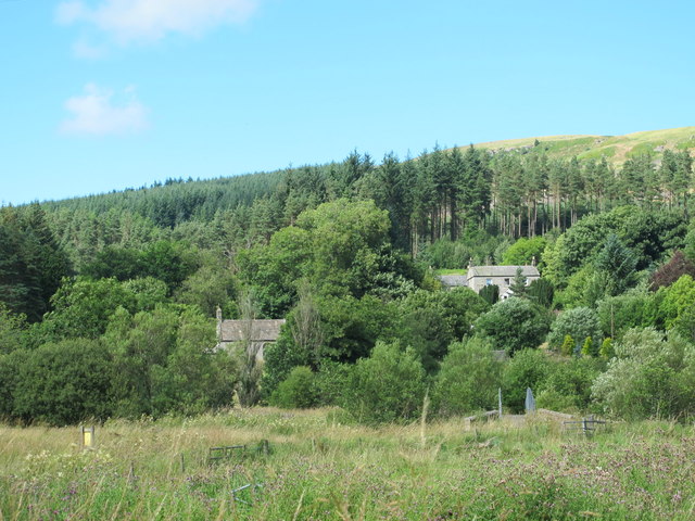
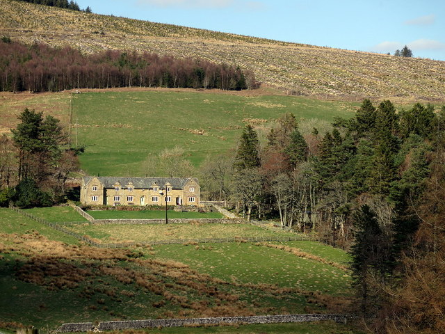
Horsley (Otterburn)
- Overview Map Street View The hamlet of Horsley in Redesdale, Northumberland, is located off the A68 road about 4 miles north-west of Otterburn and half mile south-east of Rochester. By Horsley …
Co-Curate Page
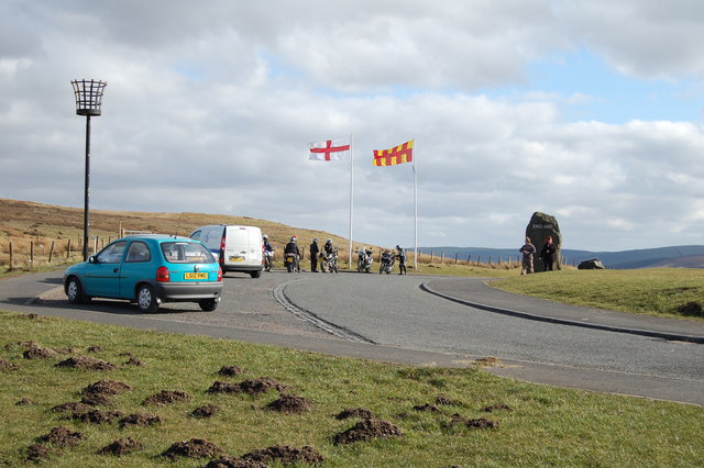
Carter Bar
- Overview Map Street View Aerial View Carter Bar is located on the England - Scotland border, at the highpoint of Redesdale in the Cheviot Hills. The A68 road crosses the …
Co-Curate Page
Elishaw, Northumberland
- Overview Map Street View Elishaw is hamlet and farm in Northumberland located near the junction of the A68 and A696 roads. It is located about 2 miles north west of …
Co-Curate Page
Sills, Northumberland
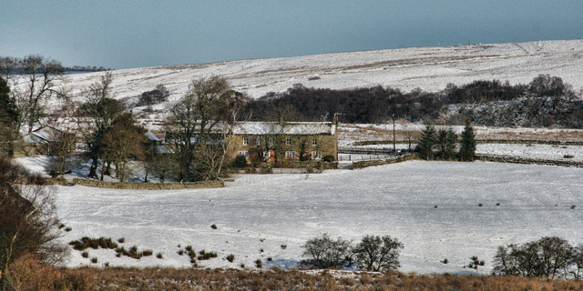
- Sills (Rochester and Byrness) Sills Farm is located about 1½ miles north of Rochester in Northumberland and is situated within the MOD Otterburn Training Area.
Co-Curate Page
Silloans, Northumberland
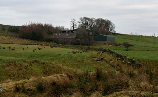
- Silloans Farm is located about 1½ miles north of Rochester in Northumberland and is situated within the MOD Otterburn Training Area. Buildings at Silloans are first recorded in the Elsdon …
Co-Curate Page
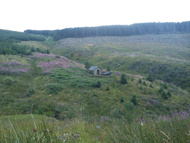
Spithope, Nothumberland
- Spithope (bothy) and Spithopehead (farm) are located to the north of Byrness Village in Northumberland, very close to the boarder with Scotland.

Co-Curate Page
Rochester
- Overview About Rochester Map Street View Rochester is a village in Northumberland, located on the A68 road, about 5 miles north-west of Otterburn and 9½ miles south-east of the border …
Co-Curate Page
Byrness
- Overview About Byrness Map BYRNESS, a chapelry, in the parish of Elsdon, union of Rothbury, S. division of Coquetdale ward, N. division of Northumberland, 13¾ miles (N.N.W.) from Bellingham. This …
Co-Curate Page
Horsley (Otterburn)
- Overview Map Street View The hamlet of Horsley in Redesdale, Northumberland, is located off the A68 road about 4 miles north-west of Otterburn and half mile south-east of Rochester. By Horsley …
Co-Curate Page
Carter Bar
- Overview Map Street View Aerial View Carter Bar is located on the England - Scotland border, at the highpoint of Redesdale in the Cheviot Hills. The A68 road crosses the …
Co-Curate Page
Elishaw, Northumberland
- Overview Map Street View Elishaw is hamlet and farm in Northumberland located near the junction of the A68 and A696 roads. It is located about 2 miles north west of …
Co-Curate Page
Sills, Northumberland
- Sills (Rochester and Byrness) Sills Farm is located about 1½ miles north of Rochester in Northumberland and is situated within the MOD Otterburn Training Area.
Co-Curate Page
Silloans, Northumberland
- Silloans Farm is located about 1½ miles north of Rochester in Northumberland and is situated within the MOD Otterburn Training Area. Buildings at Silloans are first recorded in the Elsdon …


