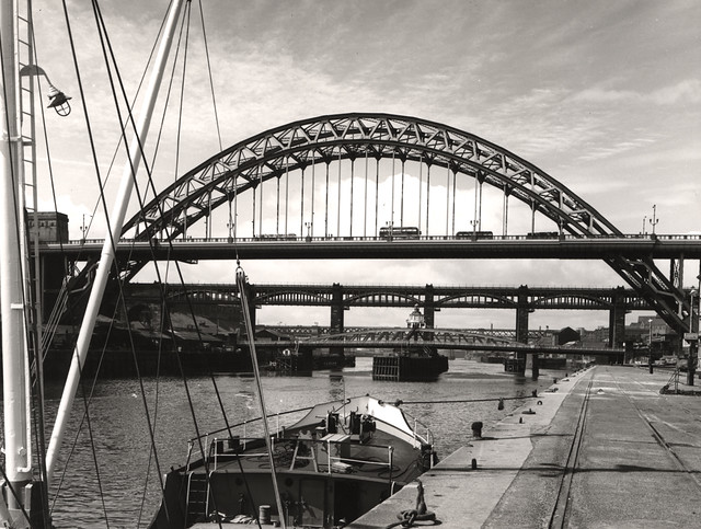
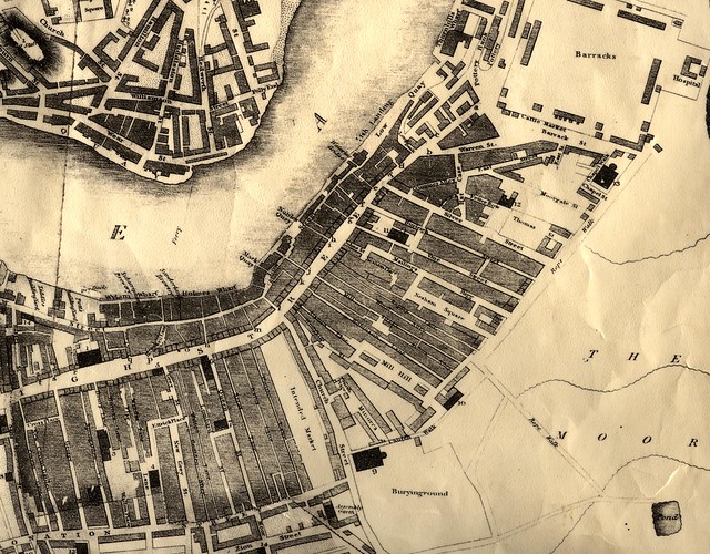
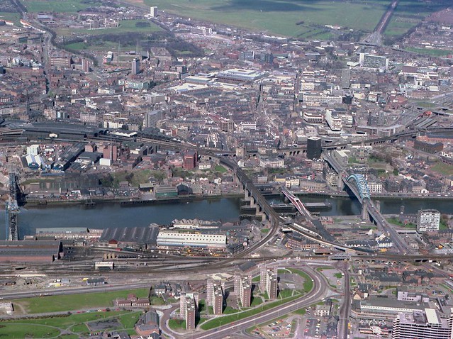
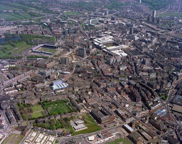
Topics > Tyne and Wear > Newcastle upon Tyne > Map and Aerial View
Map and Aerial View
Google Map: drag to move the view, zoom in and out using the control (lower right-hand corner); switch to map view (lower left-hand control)
Co-Curate Page
Newcastle upon Tyne
- Overview Map This section of Co-Curate provides a menu for the areas/districts within the City of Newcastle upon Tyne. Select the area (below). See also: Newcastle City Centre for streets, buildings, …

Co-Curate Page
Newcastle upon Tyne
- Overview Map This section of Co-Curate provides a menu for the areas/districts within the City of Newcastle upon Tyne. Select the area (below). See also: Newcastle City Centre for streets, buildings, …

Borough: Newcastle
")


