Topics > Hallthwaites
Co-Curate Page
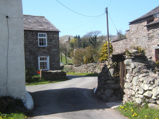
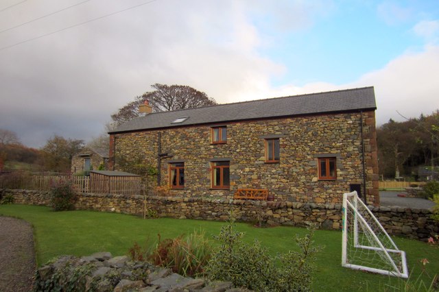
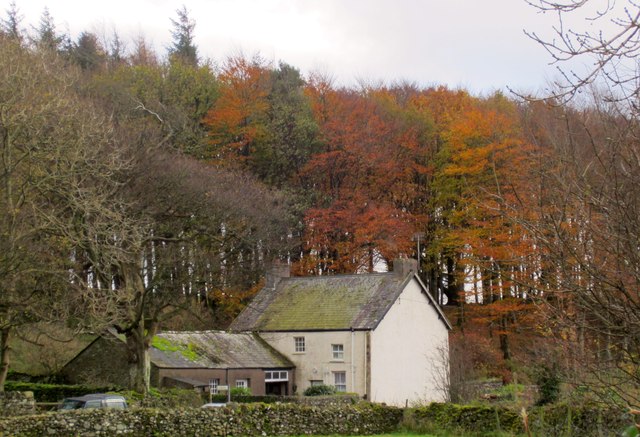
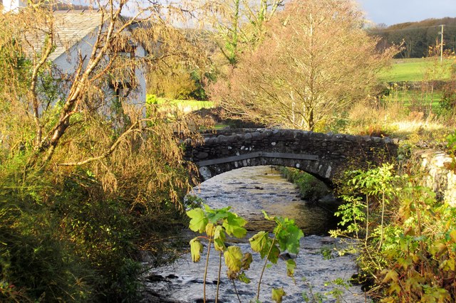
Thwaites
- Overview Map THWAITES, a chapelry, in the parish of Millom, union of Bootle, Allerdale ward above Derwent, W. division of Cumberland, 10 miles (S.E.) from Ravenglass; containing 356 inhabitants. The …
Co-Curate Page
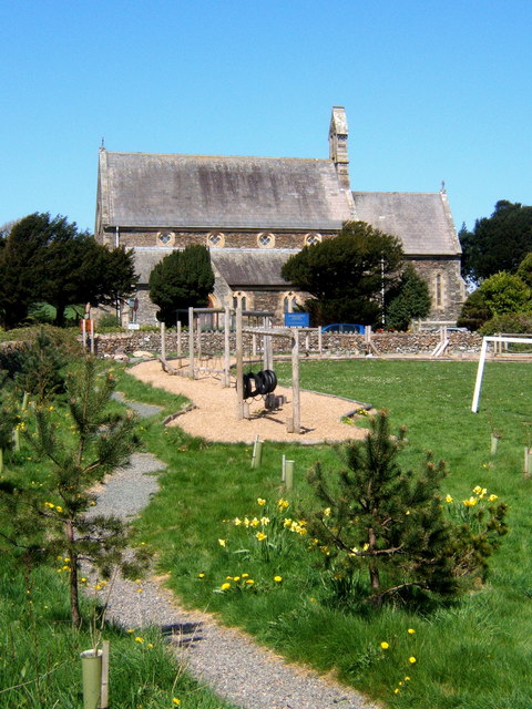
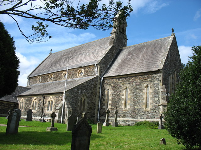
Church of St Anne, Thwaites
- Overview Map Street View St Anne's Church in Thwaites was built 1854, designed by By E. G. Paley.[1] It replaced earlier churches on a site across the road from the …

Co-Curate Page
Thwaites
- Overview Map THWAITES, a chapelry, in the parish of Millom, union of Bootle, Allerdale ward above Derwent, W. division of Cumberland, 10 miles (S.E.) from Ravenglass; containing 356 inhabitants. The …


