Topics > Northumberland > Civil Parishes in Northumberland > Ford Civil Parish
Ford Civil Parish
Area: 47.5 km²
Population:
489 (2021 Census)
493 (2011 Census)
487 (2001 Census)

from http://www.wooler.org.uk/ford…
Ford Parish Council
- "Ford Parish Council represents the villages of Ford, Etal, Crookham and surrounding areas, with a population of around five hundred people. Economic activities are agriculture and tourism, and local facilities …
Added by
Simon Cotterill

from https://keystothepast.info/se…
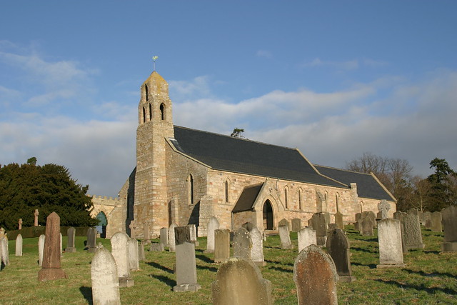
Local History: Ford (Northumberland)
- "The parish of Ford lies in north Northumberland, close to the Scottish border. It has a very rich variety of archaeological an historic sites, with numerous cropmarks, and important monuments …
Added by
Simon Cotterill
Co-Curate Page
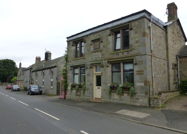
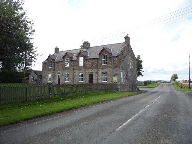
Ford
- Overview About Ford Map Street View Ford is a small village in Northumberland, England, about 13 miles from Berwick-upon-Tweed. Ford shares a parish with Etal. History before 1513 Very …
Co-Curate Page
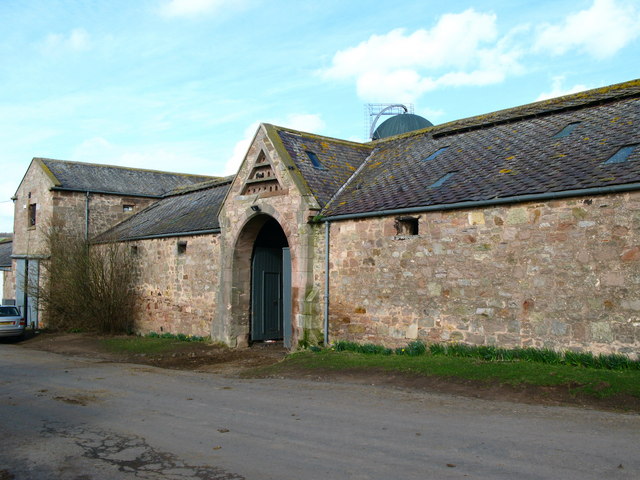
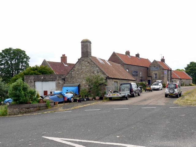
Crookham
- Overview About Crookham Map Street View CROOKHAM, or Crecum, a township, in the parish of Ford, union, and W. division of the ward, of Glendale, N. division of Northumberland, 4½ …
Co-Curate Page
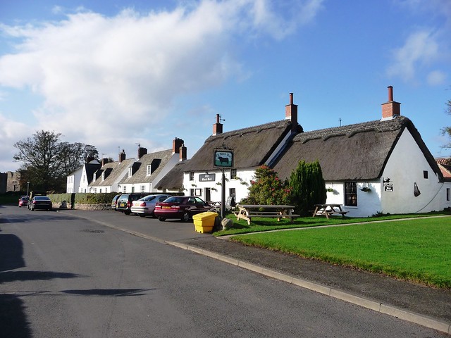
Etal
- Overview About Etal Map Street View Etal is a small village in the far north of the county of Northumberland, England which shares a parish with nearby Ford. It …
Co-Curate Page
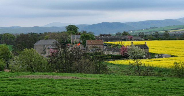
Kimmerston
- Overview Map Street View Kimmerston is a hamlet in Northumberland, located about 1 mile south of Ford, 3 miles north-west of Doddington, and 5 miles north of Wooler. It is centred …
Co-Curate Page
Pallinsburn
- Overview Map Street View Pallinsburn is a hamlet in Northumberland, located under half a mile west of Crookham. It is situated by Palin's Burn (stream) and is on the A697 …

from http://www.wooler.org.uk/ford…
Ford Parish Council
- "Ford Parish Council represents the villages of Ford, Etal, Crookham and surrounding areas, with a population of around five hundred people. Economic activities are agriculture and tourism, and local facilities …
Added by
Simon Cotterill
from https://keystothepast.info/se…
Local History: Ford (Northumberland)
- "The parish of Ford lies in north Northumberland, close to the Scottish border. It has a very rich variety of archaeological an historic sites, with numerous cropmarks, and important monuments …
Added by
Simon Cotterill
Co-Curate Page
Ford
- Overview About Ford Map Street View Ford is a small village in Northumberland, England, about 13 miles from Berwick-upon-Tweed. Ford shares a parish with Etal. History before 1513 Very …
Co-Curate Page
Crookham
- Overview About Crookham Map Street View CROOKHAM, or Crecum, a township, in the parish of Ford, union, and W. division of the ward, of Glendale, N. division of Northumberland, 4½ …
Co-Curate Page
Etal
- Overview About Etal Map Street View Etal is a small village in the far north of the county of Northumberland, England which shares a parish with nearby Ford. It …
Co-Curate Page
Kimmerston
- Overview Map Street View Kimmerston is a hamlet in Northumberland, located about 1 mile south of Ford, 3 miles north-west of Doddington, and 5 miles north of Wooler. It is centred …


")


