Topics > Northumberland > Civil Parishes in Northumberland > Ponteland Civil Parish > Coldcoats, Ponteland
Coldcoats, Ponteland
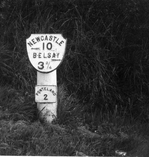
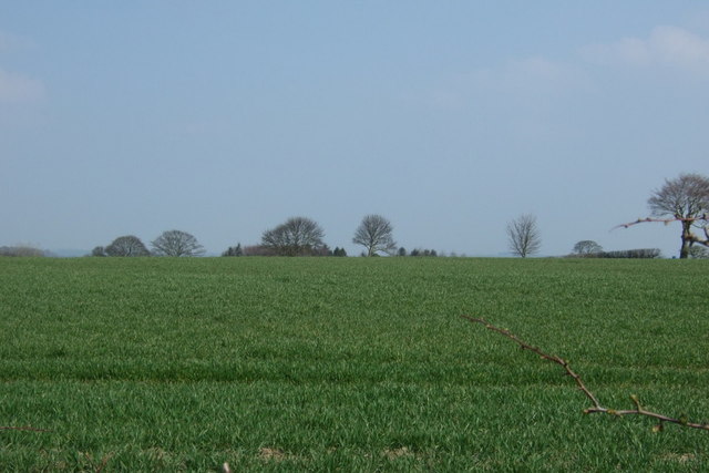
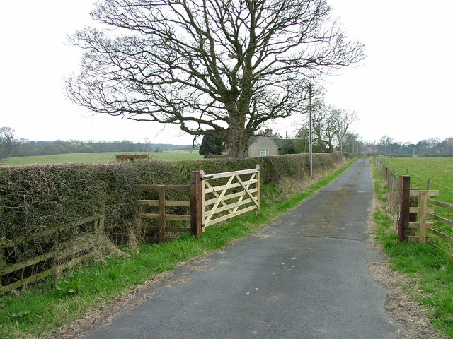
The hamlets of West Cotes [aka West Coldcoats] (NZ13357439), Middle Coldcoats (NZ143877485) and East Coldcoats (NZ13357439) are situated by Coldcoats Burn, a tributary of the River Pont in Northumberland. They are located to the north-west of Ponteland, along with South Coldcoats (NZ14547393) and Coldcoats Moor (NZ14547393). In medieval times, Coldcoats was a more substantial village, which was first recorded in 1268, but had reduced to just 4 farms by the mid-19th century.[1]
COLDCOATS, a township, in the parish of Ponteland, union and W. division of Castle ward, S. division of Northumberland, 9¼ miles (N.W.) from Newcastle; containing 36 inhabitants. It is situated on the road from Newcastle to Rothbury, and consists of East, West, South, and Middle Coldcoats, comprising together about 1,020 acres of farm land. The impropriate tithes have been commuted for £138. 9. 8., payable to Merton College, Oxford, and the vicarial for £24. 3.
Extract from: A Topographical Dictionary of England comprising the several counties, cities, boroughs, corporate and market towns, parishes, and townships..... 7th Edition, by Samuel Lewis, London, 1848.
Not to be confused with Coldcotes, Coldcotes Hill, and Coldcotes Well, which are near Whygate, to the west of Stonehaugh in Northumberland.

from https://keystothepast.info/se…
Coldcoats (Ponteland)
- "This is the deserted medieval village of Coldcoats, which was first recorded in 1268. By the mid-19th century there were only four farms in the village. Slight earthworks have been …
Added by
Simon Cotterill
Co-Curate Page
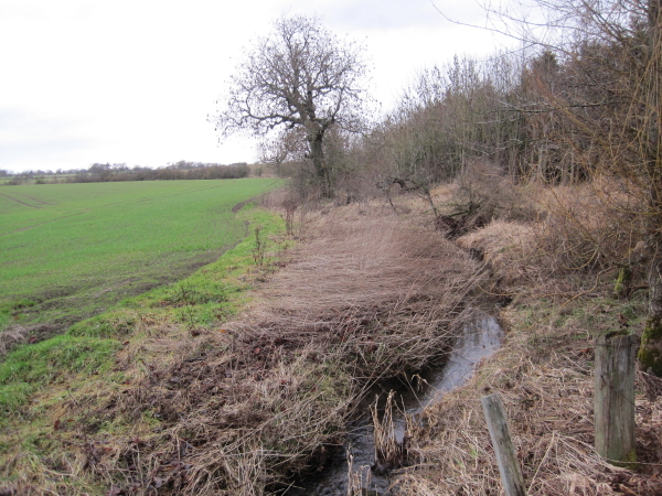
Coldcoats Burn
- Coldcoats Burn is a tributary of the River Pont in Northumberland. The catchment area of the burn is 25km2 and it is 19.5 km long.[1] West Cotes Bridge carries the …

from https://keystothepast.info/se…
Coldcoats (Ponteland)
- "This is the deserted medieval village of Coldcoats, which was first recorded in 1268. By the mid-19th century there were only four farms in the village. Slight earthworks have been …
Added by
Simon Cotterill
Co-Curate Page
Coldcoats Burn
- Coldcoats Burn is a tributary of the River Pont in Northumberland. The catchment area of the burn is 25km2 and it is 19.5 km long.[1] West Cotes Bridge carries the …