Topics > Historical Periods > 19th Century > 1810s > 1816
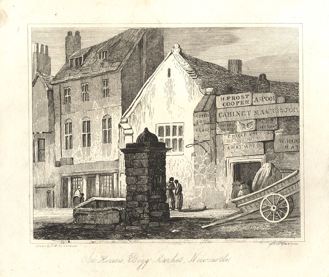
from Newcastle libraries (flickr)
006114:Bigg Market Newcastle upon Tyne Richardson T.M. 1816
Pinned by Simon Cotterill
Co-Curate Page
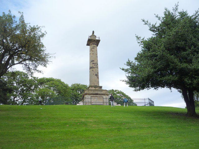
Percy Tenantry Column
- Overview Map Street View When agricultural prices fell after the Napoleonic Wars, Hugh, the 2nd Duke of Northumberland, reduced the rents of his tenants by a quarter to alleviate their …
Co-Curate Page
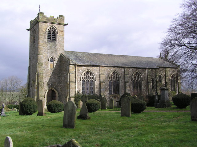
Church of St. Michael and All Saints, Barningham
- Overview Map St. Michael's is the Parish Church in Barningham, County Durham. The present church was built in 1816 by the site of an earlier medieval church. The building was …
Co-Curate Page
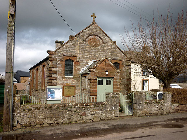
Bolton Methodist Church
- Overview Map Street View The Methodist Chapel on Chapel Street in Bolton, Cumbria, was built in 1816 and restored in 1926.[1]
Co-Curate Page
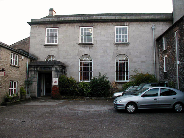
Friends' Meeting House
- Overview Map Street View The Friends Meeting House is located off Stramongate in Kendal. It was built in 1816 on the site of an earlier Quakers meeting house.[1] The building …
Co-Curate Page
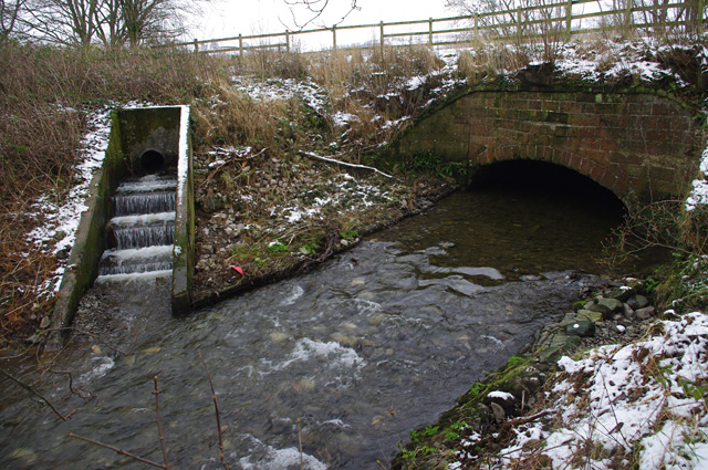
Lancaster Canal Aqueduct, Farleton
- Overview Map Street View There is an aqueduct carrying the Lancaster Canal over Farleton Beck (aka Lupton Beck), at the village of Farleton. The aqueduct, built in c.1816, is Grade …

from Newcastle libraries (flickr)
006114:Bigg Market Newcastle upon Tyne Richardson T.M. 1816
Pinned by Simon Cotterill
Co-Curate Page
Percy Tenantry Column
- Overview Map Street View When agricultural prices fell after the Napoleonic Wars, Hugh, the 2nd Duke of Northumberland, reduced the rents of his tenants by a quarter to alleviate their …
Co-Curate Page
Church of St. Michael and All Saints, Barningham
- Overview Map St. Michael's is the Parish Church in Barningham, County Durham. The present church was built in 1816 by the site of an earlier medieval church. The building was …
Co-Curate Page
Bolton Methodist Church
- Overview Map Street View The Methodist Chapel on Chapel Street in Bolton, Cumbria, was built in 1816 and restored in 1926.[1]
Co-Curate Page
Friends' Meeting House
- Overview Map Street View The Friends Meeting House is located off Stramongate in Kendal. It was built in 1816 on the site of an earlier Quakers meeting house.[1] The building …